- Joined
- Dec 13, 2015
- Messages
- 142
- Reaction score
- 483
This was our third site of the day on our Welsh adventure. To go back to the beginning, click here
Trefor Quarry
History - From Snowdonia Heritage
It was granite quarries that produced the setts to pave city streets. There was great activity in the areas around Penmaenmawr and the Eifl, and people would move from one to the other. Quarrymen moved there from other quarrying areas such as the north of England and Cornwall. Samuel Holland was a prominent person in this industry – the father was a pioneer in Ffestiniog and his son in the granite quarries of the Eifl area. The work began here about 1830, and when Trevor Jones became the quarry supervisor the village at the foot of the Eifl - Trefor – took his name. Eben Fardd wrote poetry in strict metre englyn form to praise the new quarry owners, Hutton and Roscoe. By 1850 the area’s granite quarries were owned by ‘The Welsh Granite Co. Ltd’. It was bought for £3,000 and the shares were worth £13,000. In 1911 the Penmaenmawr and Llanfairfechan quarries were joined with the Eifl ones to form the ‘Penmaenmawr and Welsh Granite Co. Ltd’.
Trefor quarry (SH36304600) developed to be the world’s biggest granite quarry, and by 1931 had
produced 1,157,000 tons of setts.
Trefor village developed after the granite quarry opened, and the Doc Bach dock, Quay and Harbourwere built for exporting setts. By now, the harbour is used as a sheltered anchorage for fishing boats. On the hill up to the village is the former Llanaelhaearn lifeboat shed, established here in 1883 but it was not used much and was closed in 1901. Closer to the Eifl, there are rocks with names like Trwyn y Tâl, Ynys Fawr and Ynys yr Adar (island of the birds). The beach at West End is sandy, and the Nant Fawr stream running from Llawr Sychnant is an example of a valley formed during the Ice Age. The steep rock extending into the sea from the Eifl is Trwyn y Gorlech (headland of the gritstone), and beyond it are Nant Gwrtheyrn and the land of Llŷn.
Explore
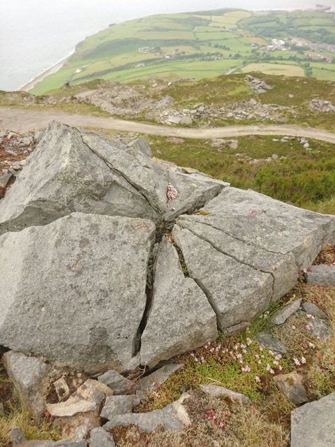
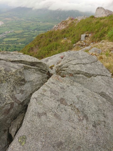
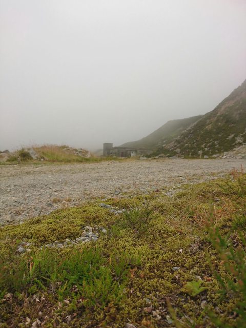
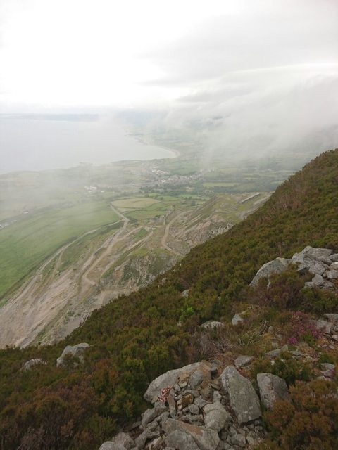
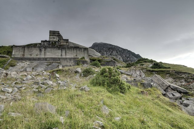
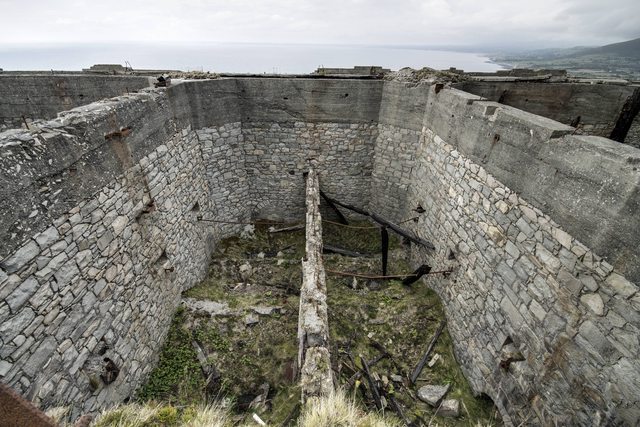
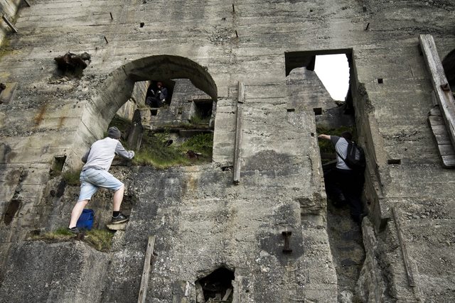
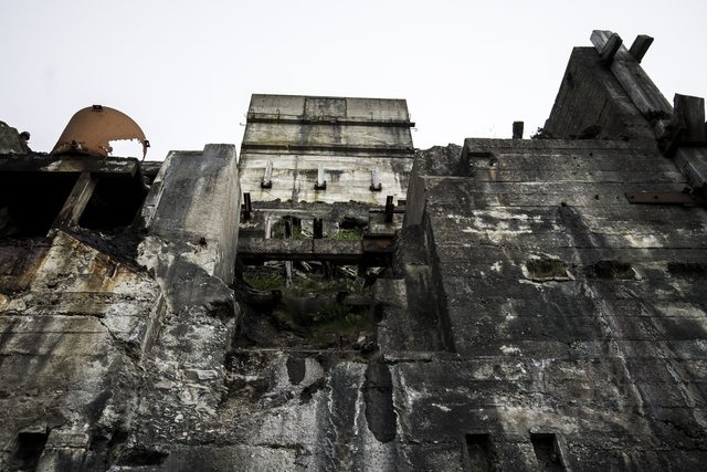
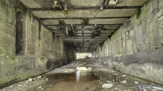
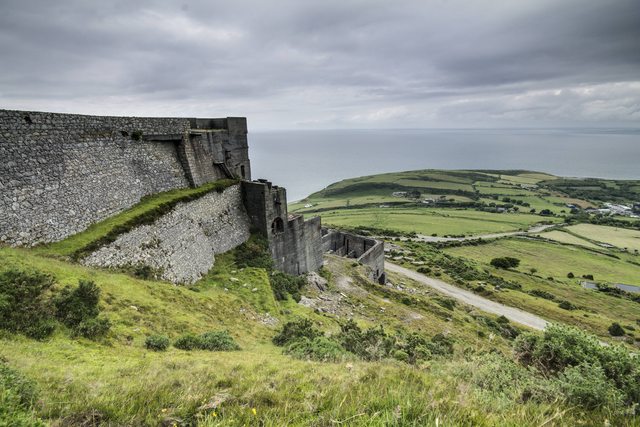
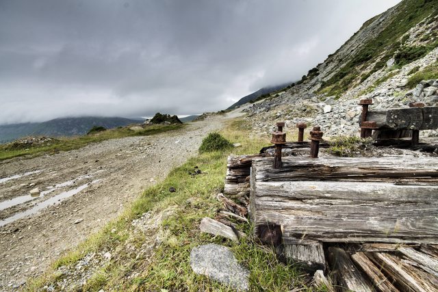
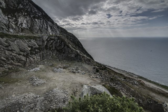
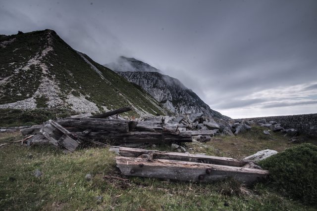
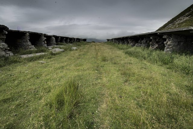
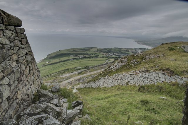
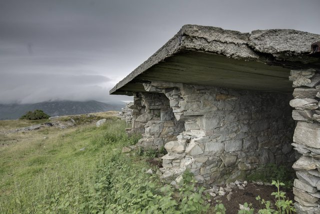
So following on from the Mill, next on the list was Trefor Quarry (well…..it wasn’t, however we were behind time). We could see it looming in the distance, what a structure! I was a little put off by the seemingly endless ribbon of road snaking up the mountain, however we were lucky enough to find an access road that took us half way up. We slogged up to the top of the structure looking for a way in however it seems all entrances were sealed long ago; no matter, the views from up here were spectacular. While I fiddled about with HDRs and ND filters, my companions carried on up the mountain to nigh on the summit, I’m sure they will add their pictures from within the clouds to this post.
On with the pictures!
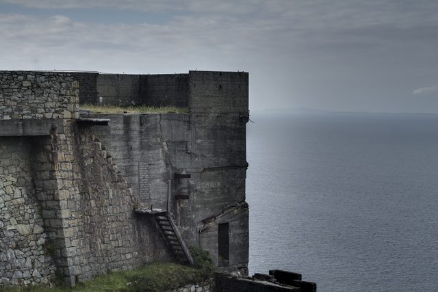
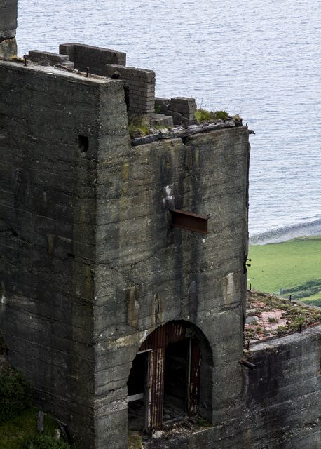
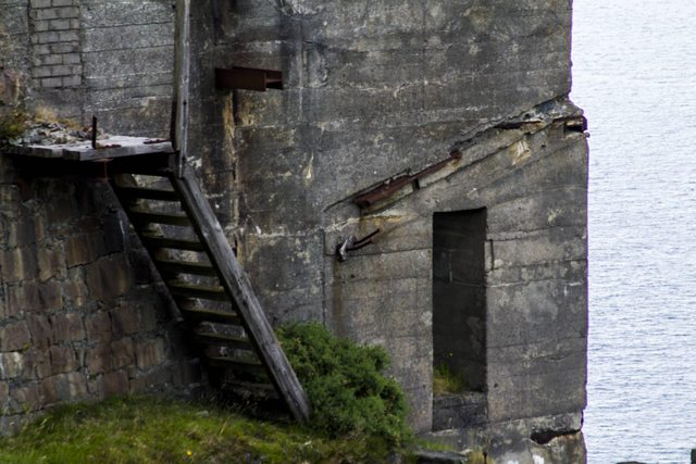
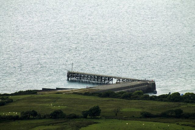
From here, we headed to Llanberis Bomb Stores.
Trefor Quarry
History - From Snowdonia Heritage
It was granite quarries that produced the setts to pave city streets. There was great activity in the areas around Penmaenmawr and the Eifl, and people would move from one to the other. Quarrymen moved there from other quarrying areas such as the north of England and Cornwall. Samuel Holland was a prominent person in this industry – the father was a pioneer in Ffestiniog and his son in the granite quarries of the Eifl area. The work began here about 1830, and when Trevor Jones became the quarry supervisor the village at the foot of the Eifl - Trefor – took his name. Eben Fardd wrote poetry in strict metre englyn form to praise the new quarry owners, Hutton and Roscoe. By 1850 the area’s granite quarries were owned by ‘The Welsh Granite Co. Ltd’. It was bought for £3,000 and the shares were worth £13,000. In 1911 the Penmaenmawr and Llanfairfechan quarries were joined with the Eifl ones to form the ‘Penmaenmawr and Welsh Granite Co. Ltd’.
Trefor quarry (SH36304600) developed to be the world’s biggest granite quarry, and by 1931 had
produced 1,157,000 tons of setts.
Trefor village developed after the granite quarry opened, and the Doc Bach dock, Quay and Harbourwere built for exporting setts. By now, the harbour is used as a sheltered anchorage for fishing boats. On the hill up to the village is the former Llanaelhaearn lifeboat shed, established here in 1883 but it was not used much and was closed in 1901. Closer to the Eifl, there are rocks with names like Trwyn y Tâl, Ynys Fawr and Ynys yr Adar (island of the birds). The beach at West End is sandy, and the Nant Fawr stream running from Llawr Sychnant is an example of a valley formed during the Ice Age. The steep rock extending into the sea from the Eifl is Trwyn y Gorlech (headland of the gritstone), and beyond it are Nant Gwrtheyrn and the land of Llŷn.
Explore
So following on from the Mill, next on the list was Trefor Quarry (well…..it wasn’t, however we were behind time). We could see it looming in the distance, what a structure! I was a little put off by the seemingly endless ribbon of road snaking up the mountain, however we were lucky enough to find an access road that took us half way up. We slogged up to the top of the structure looking for a way in however it seems all entrances were sealed long ago; no matter, the views from up here were spectacular. While I fiddled about with HDRs and ND filters, my companions carried on up the mountain to nigh on the summit, I’m sure they will add their pictures from within the clouds to this post.
On with the pictures!


From here, we headed to Llanberis Bomb Stores.
Last edited:


