krela
Well-known member
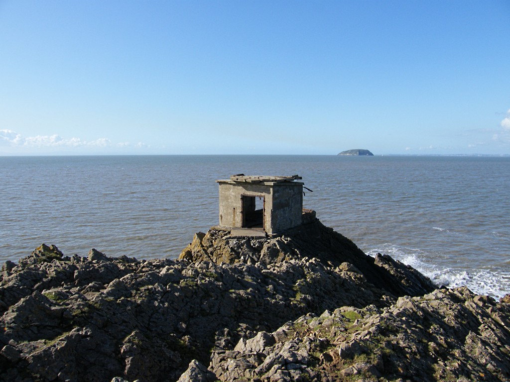
Brean Down fort has a history going back to the 1860s it was chosen for its strategic position in alignment with other forts on Steepholm Island, Flatholm Island and Lavernock Point near Cardiff to protect the upstream dockyards of Cardiff, Newport, Bristol and Avonmouth from the strong French Navy.

Click here for a panorama of the view from the fort (warning 800Kb photo).
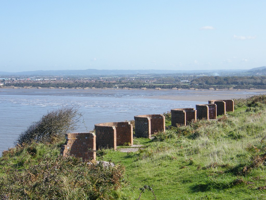
Four acres of land at the end of Brean Down were requisitioned in 1862 and building was complete by 1870. The armament arrived shortly afterwards. The fort was garrisoned by 60 men and was defended by seven 7" rifled muzzle loading cannon which were among the last of this type to be made at Woolwich Gun Foundry. There were originally three main gun positions. These were W battery containing 2 guns on 'C' pivots (rotating around a reused Georgian cannon set upright in the ground)

and one on an 'A' pivot (rotating around a pin set in a stone drum below the muzzle of the gun).

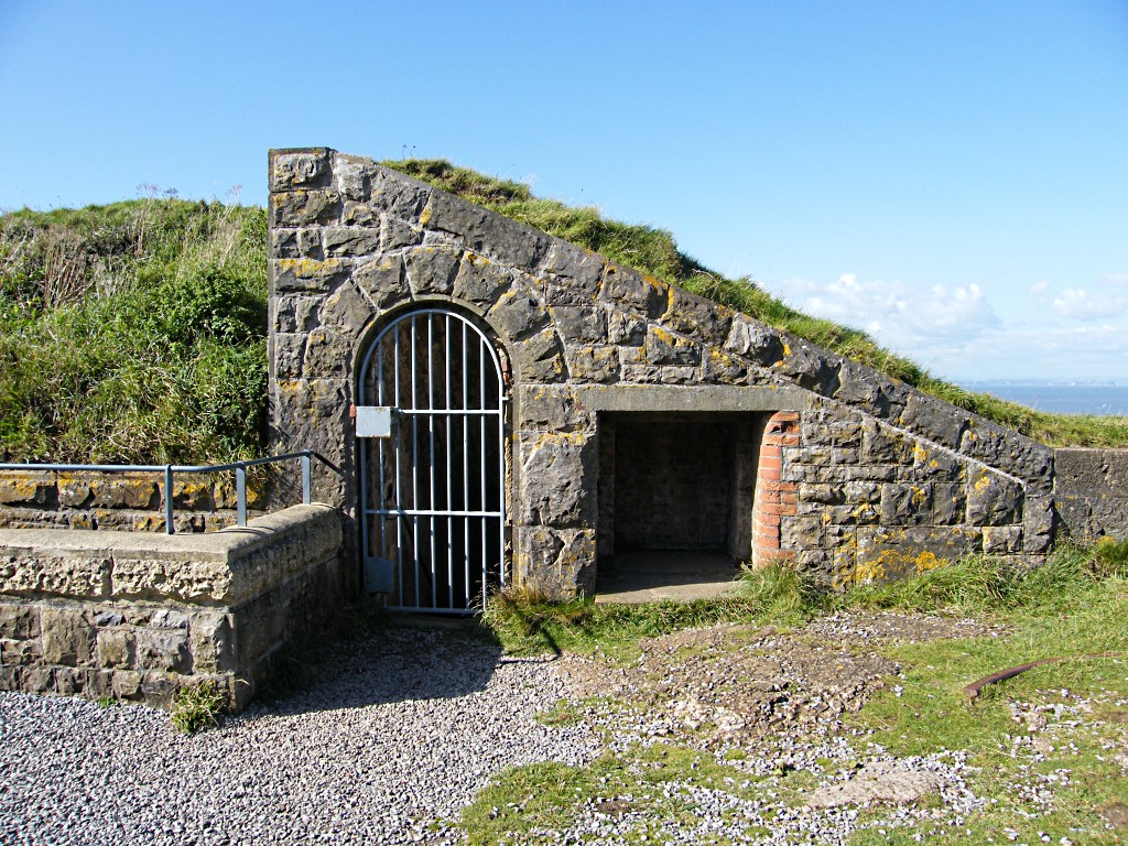
There were two underground magazines. This position was destroyed in 1900 when the magazine exploded after one of the garrison fired his rifle into it, apparently committing suicide. A WW2 emplacement now covers the site. The NW battery contained three guns on 'A' pivots. There were two underground magazines behind the position.

The southernmost gun position and half of the central position has been covered by a WW2 emplacement but the northern position is well preserved having been used as a coal store. The NE position contained one gun on a 'C' pivot in a semi-circular gun-pit. The cannon is still in position and part of the racer remains as do three iron wall rings. The underground magazine is one of the largest in the Bristol Channel forts.
Behind the batteries is a barrack block and officers quarters which run across the headland with a dry moat in front. The walls are defended by 21 carbine slits.
The site was decomissioned in 1905 and was used as a Cafe until 1939 when it was rearmed to protect the estuary from german torpedo and minelaying ships.
Two gun positions were built to mount 6" ex-navel guns in their turrets. These were later protected with a "plastic" anti-aircraft roof. This has now been removed for safety. One position was built over the ruins of the old W battery and the other partly obscures the NW battery.


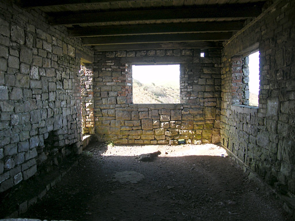
The barrack blocks were converted and the windows partly blocked to reduce the effects of blast. The concrete bases of several buildings survive in the fort and also protected in the moat


Several experimental weapons were trialled at Brean, the only evidence being a short length of launching rail. Two of the better known weapons trialed were the seaborne bouncing bomb, and the expendable acoustic emitter (designed to confuse noise seeking torpedos).


Click here for a panorama of the view from the fort (warning 800Kb photo).
Four acres of land at the end of Brean Down were requisitioned in 1862 and building was complete by 1870. The armament arrived shortly afterwards. The fort was garrisoned by 60 men and was defended by seven 7" rifled muzzle loading cannon which were among the last of this type to be made at Woolwich Gun Foundry. There were originally three main gun positions. These were W battery containing 2 guns on 'C' pivots (rotating around a reused Georgian cannon set upright in the ground)

and one on an 'A' pivot (rotating around a pin set in a stone drum below the muzzle of the gun).

There were two underground magazines. This position was destroyed in 1900 when the magazine exploded after one of the garrison fired his rifle into it, apparently committing suicide. A WW2 emplacement now covers the site. The NW battery contained three guns on 'A' pivots. There were two underground magazines behind the position.

The southernmost gun position and half of the central position has been covered by a WW2 emplacement but the northern position is well preserved having been used as a coal store. The NE position contained one gun on a 'C' pivot in a semi-circular gun-pit. The cannon is still in position and part of the racer remains as do three iron wall rings. The underground magazine is one of the largest in the Bristol Channel forts.
Behind the batteries is a barrack block and officers quarters which run across the headland with a dry moat in front. The walls are defended by 21 carbine slits.
The site was decomissioned in 1905 and was used as a Cafe until 1939 when it was rearmed to protect the estuary from german torpedo and minelaying ships.
Two gun positions were built to mount 6" ex-navel guns in their turrets. These were later protected with a "plastic" anti-aircraft roof. This has now been removed for safety. One position was built over the ruins of the old W battery and the other partly obscures the NW battery.


The barrack blocks were converted and the windows partly blocked to reduce the effects of blast. The concrete bases of several buildings survive in the fort and also protected in the moat


Several experimental weapons were trialled at Brean, the only evidence being a short length of launching rail. Two of the better known weapons trialed were the seaborne bouncing bomb, and the expendable acoustic emitter (designed to confuse noise seeking torpedos).


