Tank Graveyard Salisbury Plain

Derelict Places

Help Support Derelict Places:

This site may earn a commission from merchant affiliate links, including eBay, Amazon, and others.

Dexter24

Well-known member
Joined
Dec 3, 2008
Messages
54
Reaction score
90
Location
Hampshire
Had a little trip out to Salisbury Plain this morning, went with the intention to photograph the tank graveyard, These pictures have been taken from a distance as you can not get up close and personal with them as the area in which they sit still has the danger of unexploded ordnance such a shells bombs etc.
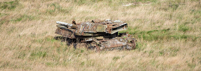

Tank Graveyard by Chris Talbot (1958), on Flickr
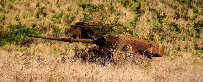
Tank Graveyard by Chris Talbot (1958), on Flickr
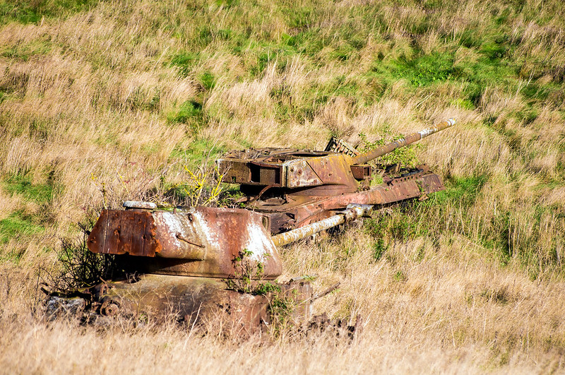
Tank Graveyard by Chris Talbot (1958), on Flickr
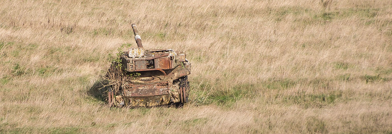
Tank Graveyard by Chris Talbot (1958), on Flickr
 
This seems like a good place to ask....I live kind of on the Axminster to Taunton stopline and new houses have recently been erected right by where I live. They have laid a new road and marked out a shape on the road and covered it in tiny stones which smell medicinal when you walk on them (????) I asked the guys and they said it's an old tank trap. Do you know why this was important to mark out on the road please? I'm just interested (nosy)... not really a fan of military stuff to be honest but do like to know what's going on in my neighbourhood :)
 
That doesn't make any sense to me woodland pixie sorry. There are a lot of anti-tank traps on the roads around there though. If you give me an exact location I can look it up as I have extensive records on the taunton stopline, it's my pet subject. :)
 
Well me too...shame. Oh well. Aha you edited...It's at the top of Boxfield Road in Axminster. There isn't really a map as it was fields until a year ago. Right at the top of Boxfield then past Morton Way and at the end of where the road stops and the field gate is is the closest I can get you :p my ordnance survey knowledge is about as good as my tank knowledge...and bloody hell I can't insert a link to google image search for some reason...

50 d 46'36.74" N, 2 d 59'46.65" W. If you find that it looks like a bare patch of land. in front of that is the track, now road... you see a line across the road with a bush next to it, that's the gate. Tank trap right in front of gate and next to the bare patch. I don't understand those directions but I guess your map brain is better than mine.

Sorry, I'm a woodland pixie not a directions pixie ;)
 
Curious, as far as I'm aware there's no anti-tank measures on that side of town, they're all on the railway side.
 
No... there's a small river just down the field with three concrete anti tank cubes and there's a pillbox behind the new houses near the tank trap too...many more on the railway side though you're right. So are tank traps not usually marked if a road happens to be built on top of them? I'll take some pics of all this if you're interested :)
 
That doesn't make any sense to me woodland pixie sorry. There are a lot of anti-tank traps on the roads around there though.)

There were mutterings in the specialised historical press/societies about 'modern' fortifications etc disappearing under new developments some while back - if I remember correctly! Is this an attempt to keep the record 'on the ground' so that interested parties can still see the original intentions of the fortifications? If so I applaud the idea - there are far too many lone objects standing around that give the casual or none informed observer no idea what went on in those locations during WW11
 
Last edited:
Back
Top