Balmedie Links Defences - Feb 2010

Derelict Places

Help Support Derelict Places:

This site may earn a commission from merchant affiliate links, including eBay, Amazon, and others.

Seahorse

Grumpy auld mod.
Joined
Jul 26, 2008
Messages
1,533
Reaction score
254
Location
Aberdeenshire
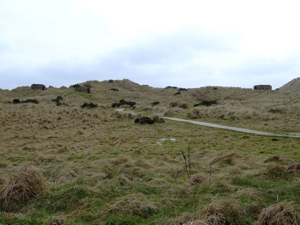
Famouse for the controversy surrounding Donald Trump's plans to build a world class golf resort, Balmedie links has a smattering of WW2 defences worthy of note. I had originally thought it was just a couple of pillboxes, but having spent a wee while tramping all over the dunes, I've come to the conclusion that the pillboxes were rather more than simple beach defenses: I think they were there to guard something in particular.

I say this because there are old bits of road, hard standings, and demolished concrete structures dotted about. I'll let the pics tell the story as I see it, but if anyone has any info about the role Balmedie played in the war, I'd be glad to hear it.

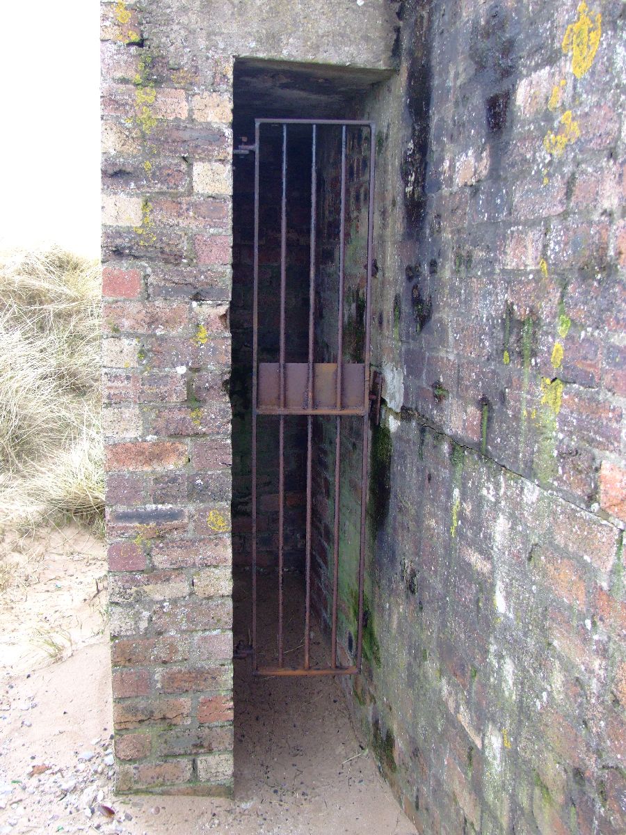
First up is the group of 3 pillboxes; 1 large, 2 small. Unusual construction.
4393506116_36a7c62069_b.jpg


This is the larger of the 3. In more detail, here's what the DoB has to say.
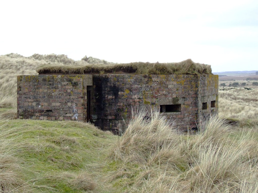
PILLBOX (VARIANT): S0013062

The Defence of Britain

Location: Balmedie Links.

Condition: Extant but condition unknown

Description: ____/__/__ For pillbox to the north (NJ 9807 1836), see NJ91NE 15. GRC cite locations of pillboxes as NJ 9766 1756 (GRC 20), 9766 1762 (GRC 21) and 9769 1764 (GRC 22). NMRS, MS/712/9. Seen as a group of three, all of unusual construction (GRC 20). NJ 9766 1756. 7 sides, 1 door with blast wall, 9 embrasures; about 14ft long, 12ft wide, 7 ft high; inside ricochet wall. (GRC 21). NJ 9766 1762. One of two similar pillboxes in the group. All unusual, being round with 4 flat sides, 1 door with blast wall, 5 embrasures. About 10ft in diameter with central wall. (GRC 22). NJ 9769 1764. Very similar to GRC 21, except inside wall different. Visited by Mr J Guy, 10 July 1992. NMRS, MS/712/8. This group of three pillboxes lies on the landward side of the dunes of Balmedie Links, overlooking an area of level ground to the W. All three have brick walls with concrete roofs and floors. The northernmost (NJ 9769 1764) is polygonal, but with a rounded W face, and measures 5.65m in diameter over walls 0.93m thick. It is equipped with four embrasures distributed around its N and W sides, and the entrance on the S is protected by a baffle. The second pillbox (NJ 9766 1762) is situated 19m to the SW, buried in sand up to the level of its embrasures, and of similar design. The southernmost pillbox (NJ 9766 1756) of the group, lying a further 70m to the SW, is again hexagonal in plan and is slightly larger with walls 0.9m thick. Its W, S and E faces respectively are pierced by a pair of embrasures, with single embrasures in its shorter SW and SE faces, and an entrance protected by a baffle in its N face. The interior of each of the pillboxes, which could not be entered on the date of visit, is sub-divided by a wall. Visited by RCAHMS (IF, JRS), 4 March 1996.
4392739241_85892ba77b_b.jpg


4392740451_4513afa4b2_o.jpg


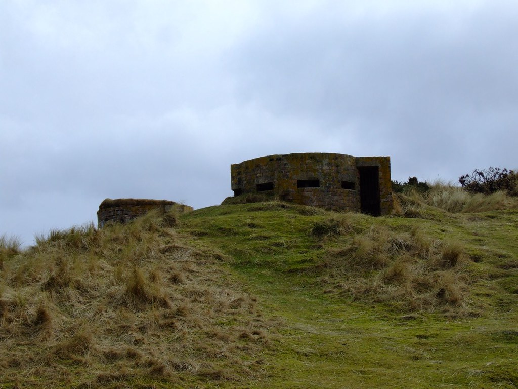
Next up is the SW small pillbox.
PILLBOX (VARIANT): S0013063
4392737165_b9febaa521_b.jpg


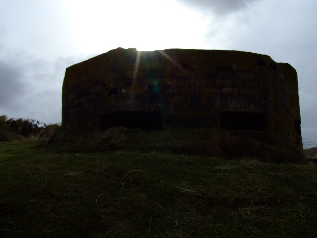
And now the NE small pillbox.
PILLBOX (VARIANT): S0013064
4392737361_7bdd80f81d_b.jpg
 
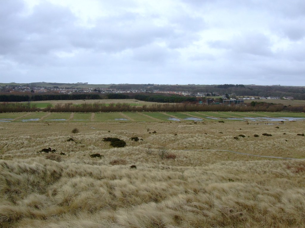
As I mentioned, I think there used to be a bit more to this than just a group of pillboxes. Looking at the land behind, I'm almost tempted to believe that the lay of the land suggests there might have been a camp there at some point.
4392740771_8391b60b05_b.jpg


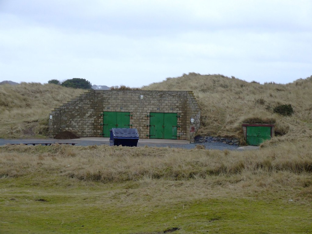
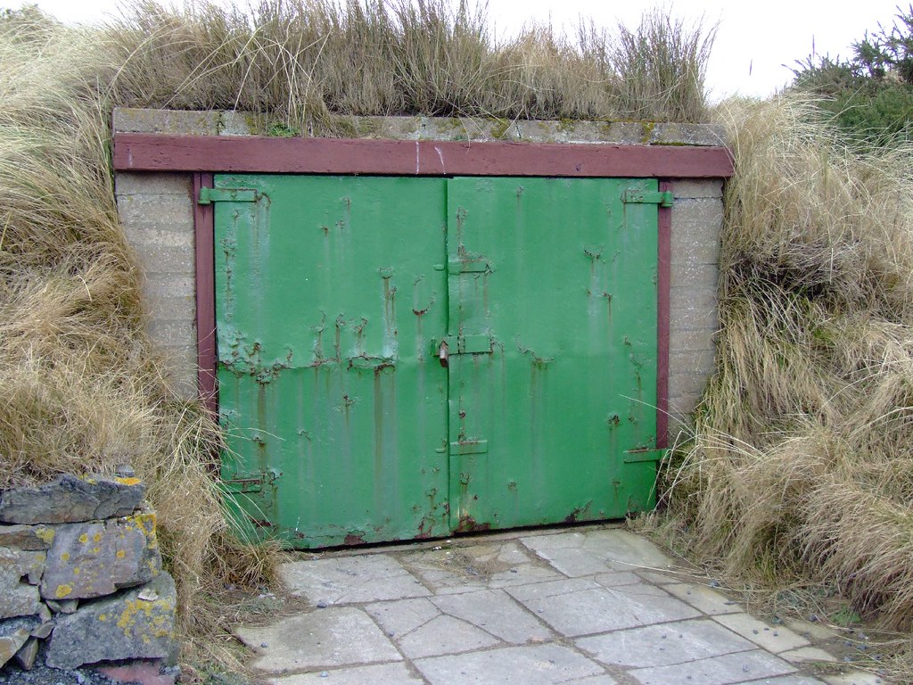
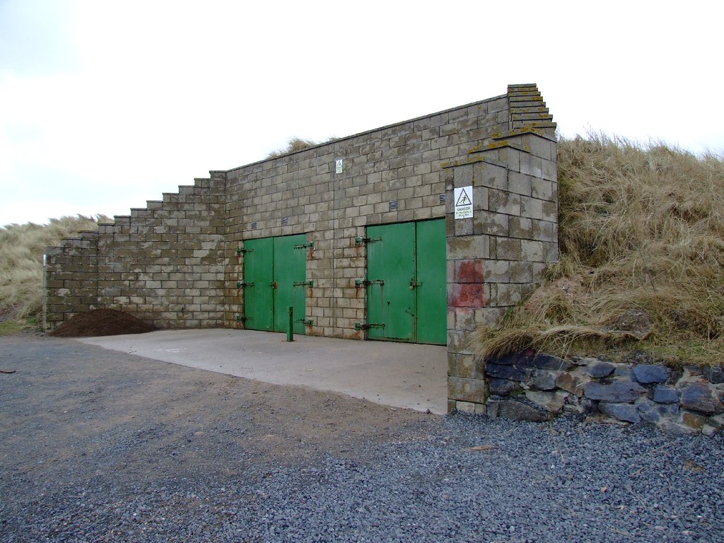
And this look awfully like an ammunitionstore of some kind.
4393511942_eb4c4cbfcb_b.jpg


4392743567_83cec0b2d8_b.jpg


4393512786_dc133f0824_b.jpg


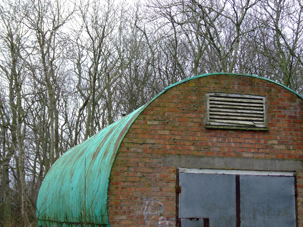
And on the way out, is this possibly military looking nissen type hut.
4393513292_3901aeed4e_b.jpg
 
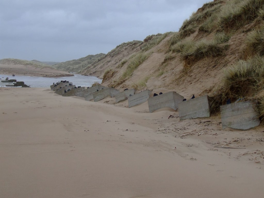
I didn't have time to clock the pillboxes on the beach. But I'll just post a couple of pics of some anti tank blocks, which don't seem to be mentioned in the DoB database. Or if they are, I've missed them.

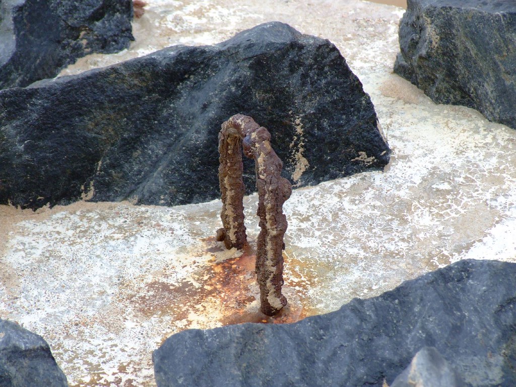
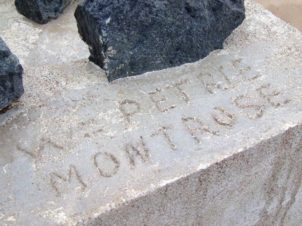
Unusually, thse appear to have been constructed elsewhere, and transported to the site. (The ones up my way were constructed in situ.) The loop of steel suggests this, plus the fact that on a couple, names have been written whilst the concrete was still wet, and MONTROSE also added. Where they were cast, perhaps?

Also unusual is the lumps of rock embedded in the top.

4392741295_830723f3cd_b.jpg


4393510790_c4a1ac1877_b.jpg


4392742779_8566a2b750_b.jpg
 
Controversial ;)

I'm sure these'll have a Compulsory Purchase on 'em soon :lol:

I've seen the lumps of stone on top of the blocks out East before, at Glenglasshaugh...

glenglassaughdistillery156.jpg
 
I've only had a quick shufti at GE, but this anti-tank trench lies next to the SE corner of the village-
Balmedie.png
 
Thanks, TH. Not sure about the age of the range, but I remember we used to hold our shooting competitions there when I was a wee cadet, and it looked old back then in the 70's. Canmore can't see mention of them on pre 1901 maps, so simply says likely to be of 20th century construction.

Foveran had ranges during the war. I remember an old fella telling me during a school field trip there that his grandad's Home Guard unit used to look after the ranges, and had various other regular units train there. One lucky lad found a fragment of grenade in the sands on the visit (we were actually there to look at ducks on the bird sanctuary). The sands were also populated with scaffolding in case of an invasion by glider. I must get up and take pics of those at some point, although they tend to disappear and reappear at varying intervals depending on weather.

I'm assuming the council now has a different use for the ammo stores. No way would anyone rely on a couple of padlocks in this day and age to keep folks away from stuff like that. We used to collect our ammo from the barracks at the Bridge of Don in any case, and that has been around since Adam were a lad.

I've just zoomed out on GE and realised something. I've often overflown Balmedie when flying into Dyce from Stavanger. Might there have been an anti aircraft position there? I've never seen any mention of one, but maybe I just haven't been looking hard enough.

The anti tank ditch is interesting. I think anyone bringing tanks ashore at Balmedie would have had problems in any case, as it is very wet and boggy. I've seen Challengers struggling on ground better than they have there. So I'm wondering if the ditch was to prevent an incursion NORTH. And if so, again I have to wonder... what was being protected. Since by definition, any landing south of that point would simply have hung a left, and scooted southwards. Unless of course, something at Balmedie presented a big enough threat that it would have needed to be dealt with first.

I'm no further forward really, am I? :p
 
SH-
The ditch could also be an anti-glider obstacle. Isn't there a wartime radar station near there- Schoonie Hill or summat?!
 
Hi SH, I think you're right on the idea of a camp, I agree that the 'lay of the land' suggests it, as does the football pitch and other remaining structures. I'd get a date on the sewage works adjacent to the site if I were you, that should indicate whether there was a camp there.
Many rural sewage works were built in the war, quite a few near me were built by the yanks in local camps. The works served the camps while they were there, but now serve the villages nearby.Nice pillboxes though:)
 
Last edited:
The anti tank ditch is interesting. I think anyone bringing tanks ashore at Balmedie would have had problems in any case, as it is very wet and boggy. I've seen Challengers struggling on ground better than they have there. So I'm wondering if the ditch was to prevent an incursion NORTH. And if so, again I have to wonder... what was being protected. Since by definition, any landing south of that point would simply have hung a left, and scooted southwards. Unless of course, something at Balmedie presented a big enough threat that it would have needed to be dealt with first.

Not really true I'm afraid, the assumption was that invading tanks would head for the nearest available road (or even better railway as the trackbeds were perfect for panzers...!) to follow, and probably by the most direct route possible. So whilst from a strategic viewpoint it might make sense for them to head south they may well head south in a more convoluted way. Still doesn't explain why it's there in the first place tho.
 
Are we sure it's an anti tank ditch? They are not normally zig-zagged, That's more normal for infantry trenches that need to provide enfilading fire. I suspect it's more likely to be one of those. artificial glider and tank ditches are generally straight.

The rocks on the AT blocks were a crude attempt at camouflage and are fairly common all over the country.

I'd say there was almost certainly a camp of sorts here, maybe for training?
 
I guess I'll just have to go for a close up squint at the ditch and see what it looks like from the ground. Unfortunately, I'm expecting the phone to ring at any moment to send me on my travels again, so it'll have to wait a little.

Thinking about it, this would be a really silly place for a beach assault. No defences to speak of means they would get ashore really quickly, do as Krela suggests and hit the road (which in those days was a piss poor effort despite being the main road from Peterhead). And then what? They'd be bottlenecked by the poor bridge infrastructure south across the Don, which still causes major traffic issues today. RAF Dyce is very handy nearby so they would suffer immediately from the air threat, and RAF Peterhead is not much more flying time away.

Trying to skirt Aberdeen would take forever, and hugging the coast for a relatively short distance means they would hit the heavily defended harbour. Then another river to cross. Onwards towards Stonehaven, where they hit a stop line, slowing them down even more. Difficult to head much inland to bypass the coastal towns and defences as they'd be pretty well confined to the roads beacause of the nature of the terrain.

Add to that the fact that a crossing from Norway is highly unlikely to have succeeded in secret. It would be a minimum 2 day cruise, with RAF and Royal Navy aerial recon extremely heavy. So they'd have needed to take out the airfields well in advance. Except they would need those as staging points for their aircraft, since fuel would remain a major problem due again to the distance between Scotland and Norway. So bombing would probably be counter productive. They'd need air cover in a hurry once they were ashore.

All in all, a somewhat silly place for an invasion.
 
Back
Top