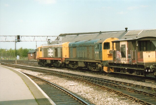
Living in the East Midlands one can be spoiled by the amount of disused rail stuff there is to poke your nose into. From the warehouses of Derby and Nottingham to a myriad of disused tunnels and seemingly endless miles of rail lines.
Many of the lines I've mooched up and down over the last couple of years were built specifically for one purpose: transportation of coal. With the demise of the coal industry across the UK, and in particular the East Midlands and Yorkshire region, many of the lines remain long after the dust has settled from when the collieries they served were demolished.
This line in particular was owned and operated originally by the Midland Railway company until 1923, when over 100 seperate companies were merged into just four, this line becoming part of the London, Midland and Scottish Railway. Originally operating as a passenger and freight line, freight being the more lucrative of the two, the passenger service was stopped in the 1930s. From then until 1995 it operated solely as a freight line carrying coal from the collieries around Denby and Ripley when it eventually closed to all traffic.
The line between Marehay and Ripley and further north has long been dismantled, but that leaves five miles of trackbed in place heading south-west toward Long Eaton Junction. In places it's clearly used as a footpath, in others it could be described as jungle-like.
Pics.
Starting off on Park Hall Road, a points lever and level crossing.

Into the undergrowth, this was one of the easier sections to navigate.

Weighbridge with bridge in the background.

Which leads to a small double tracked sidings.

Level crossing, I looked both ways, twice.

The commencement of the Staff Section indicates the boundary of the sidings.

Extant rails on Belper Road.

More points levers.

After this point the line meanders towards the A38 where a short modern tunnel takes the line briefly underground.


The next section is fairly straight.

With occasional points of interest.


Before another couple of level crossings, the line continues through some gardens so the four foot was abandoned until I could rejoin it a little further on.

World's smallest station?

After this point the line becomes VERY overgrown, nearly at Long eaton Junction though.

I didn't bother taking any pics of the overgrown section, this is the final leg, still in situ crossing light on the gate.


The end in sight, disconnected from the still active line ahead.

And I finally spotted this as I was walking back to the start point, the crossing hasn't been used for 15 years.

Well worth the cuts and scratches.
M
Many of the lines I've mooched up and down over the last couple of years were built specifically for one purpose: transportation of coal. With the demise of the coal industry across the UK, and in particular the East Midlands and Yorkshire region, many of the lines remain long after the dust has settled from when the collieries they served were demolished.
This line in particular was owned and operated originally by the Midland Railway company until 1923, when over 100 seperate companies were merged into just four, this line becoming part of the London, Midland and Scottish Railway. Originally operating as a passenger and freight line, freight being the more lucrative of the two, the passenger service was stopped in the 1930s. From then until 1995 it operated solely as a freight line carrying coal from the collieries around Denby and Ripley when it eventually closed to all traffic.
The line between Marehay and Ripley and further north has long been dismantled, but that leaves five miles of trackbed in place heading south-west toward Long Eaton Junction. In places it's clearly used as a footpath, in others it could be described as jungle-like.
Pics.
Starting off on Park Hall Road, a points lever and level crossing.

Into the undergrowth, this was one of the easier sections to navigate.

Weighbridge with bridge in the background.

Which leads to a small double tracked sidings.

Level crossing, I looked both ways, twice.

The commencement of the Staff Section indicates the boundary of the sidings.

Extant rails on Belper Road.

More points levers.

After this point the line meanders towards the A38 where a short modern tunnel takes the line briefly underground.


The next section is fairly straight.

With occasional points of interest.


Before another couple of level crossings, the line continues through some gardens so the four foot was abandoned until I could rejoin it a little further on.

World's smallest station?

After this point the line becomes VERY overgrown, nearly at Long eaton Junction though.

I didn't bother taking any pics of the overgrown section, this is the final leg, still in situ crossing light on the gate.


The end in sight, disconnected from the still active line ahead.

And I finally spotted this as I was walking back to the start point, the crossing hasn't been used for 15 years.

Well worth the cuts and scratches.
M


