- Joined
- Jan 6, 2013
- Messages
- 5,647
- Reaction score
- 11,333
1. The History
The history of the site as a whole can be found HERE ] on my previous report. There isn't a lot of history about this specific place, beyond that the quarries are located on the slopes of Moel Marchyria and opened in the 1830's. Consisting of two pit workings with some underground chambering, they were "subsidiary" quarries of Rhiw Fachno, with their output being processed at Rhiw Fachno.
2. The Explore
These two large quarries, with sizeable waste tips, lie East-South-East of the main quarry of Penmachno – or Rhiw Fachno as it is also referred to as. On previous visits, I’d eyed these workings with great interest given the size of their waste tips, but with no obvious way over there and it being a reasonable distance, I didn’t have a look. I struggled to ascertain whether they had their own name as they looked like a separate operation and then, just as I was about to post the report, found that they were in fact known as Rhos-Goch quarry.
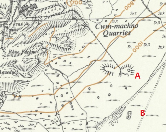
An 1903 One-inch O/S map shows no workings while an 1913 map the southerly of the two workings is show as “Old quarry” (see below):
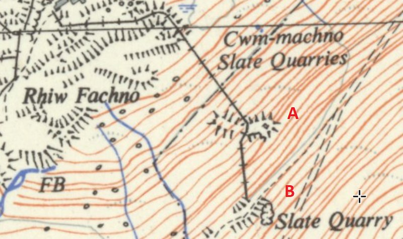
Latterly, a 1:25,000 map shows both quarries with main SE incline up to the northerly quarry (A) then a separate and shorter southerly spur up to the second quarry (B). Hence, my guess is these two quarries were worked in the early 1900s right up until circa 1960.
The main incline is now totally grassed over but the waste tips are unmissable and visible from all around the local area. I really didn’t know what to expect as having searched high and low on the internet, I couldn’t find a single photo of this part of Penmachno. This further fuelled my desire to check them out. Hence on a family walk up Penmachno, as the family decided to make the return descent along the footpath back to the car, I decided to make a beeline for the quarries. It was a foolish move! There was no footpath, an although it didn’t involve any climb, it involved yomping over the open moor. Exhausted, I finally arrived at the top quarry. It looked impressive and interesting with the many shot holes and an intriguing little adit when underground extraction of slate had undoubtedly taken place. Sadly, though it was a wellies job and I had only walking boots. Looked at the second quarry and didn’t get past the entrance it was so marshy. So headed back down the very steep and grass incline.
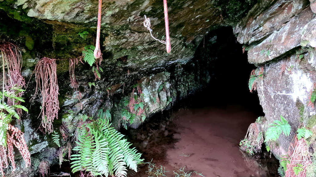
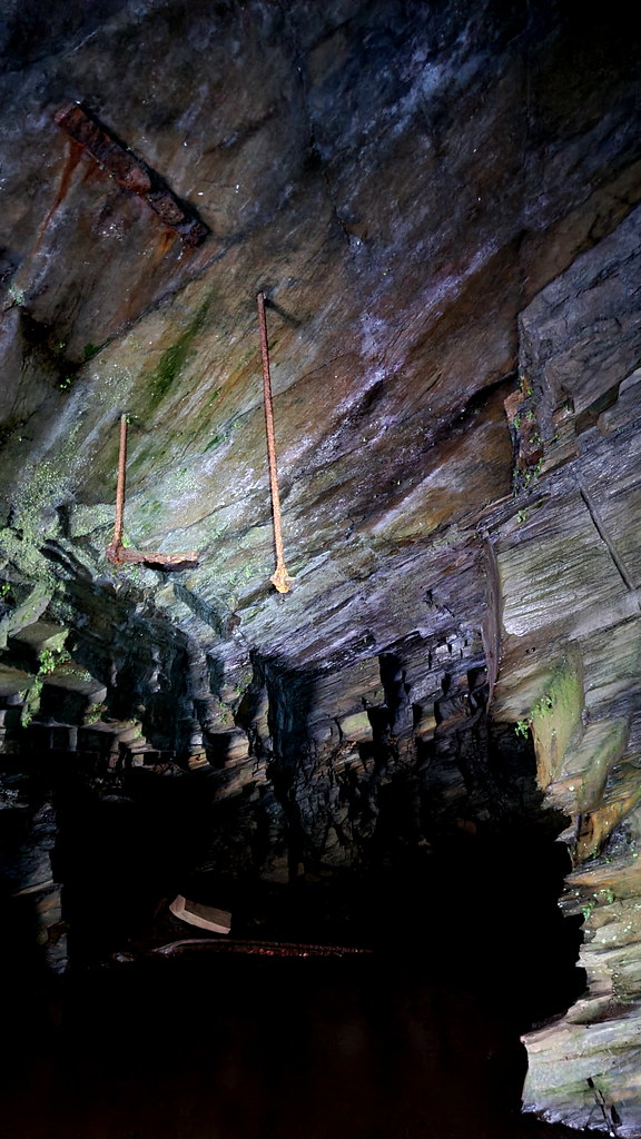
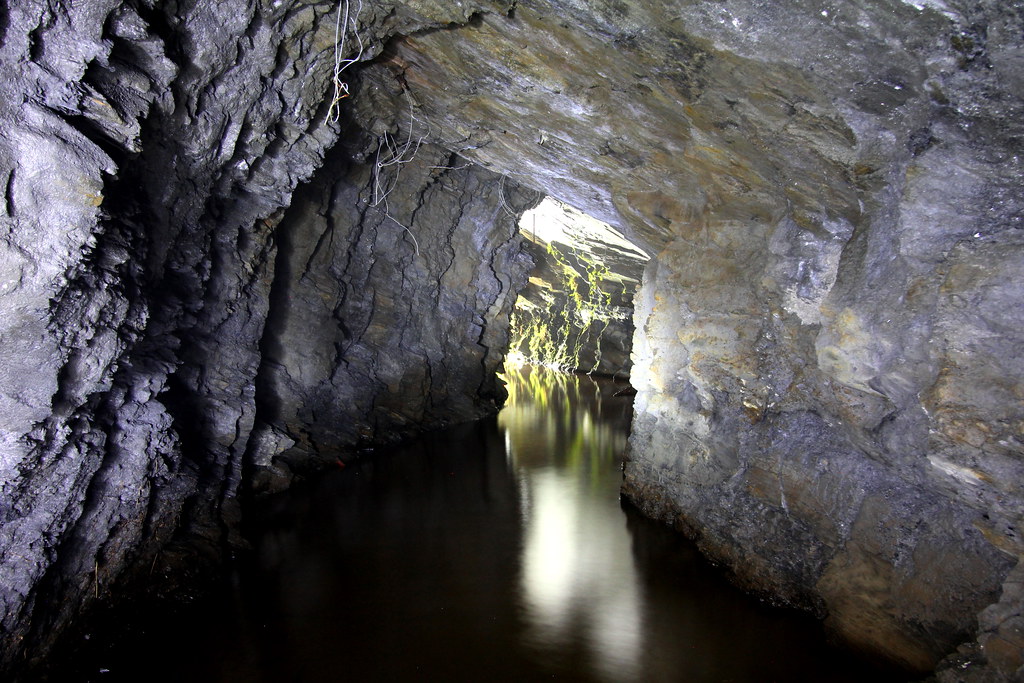
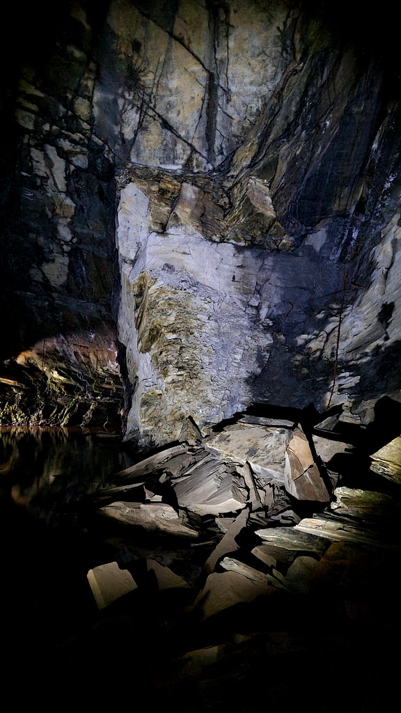
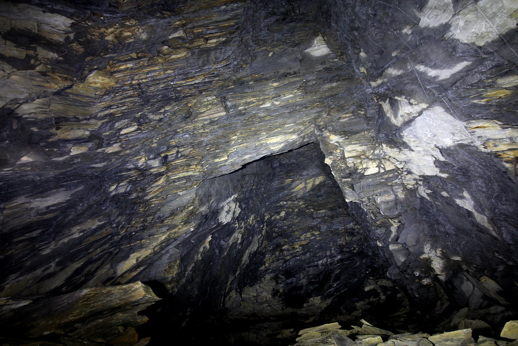
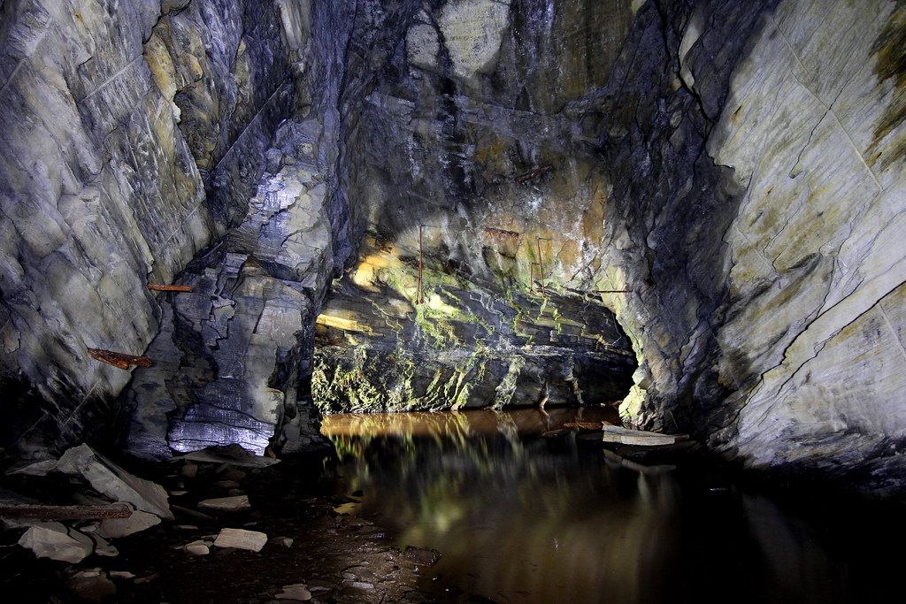
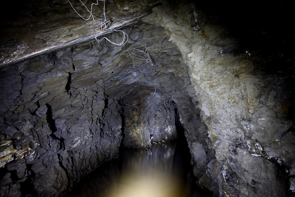
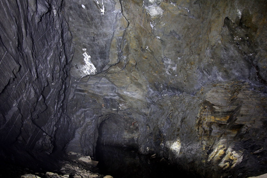
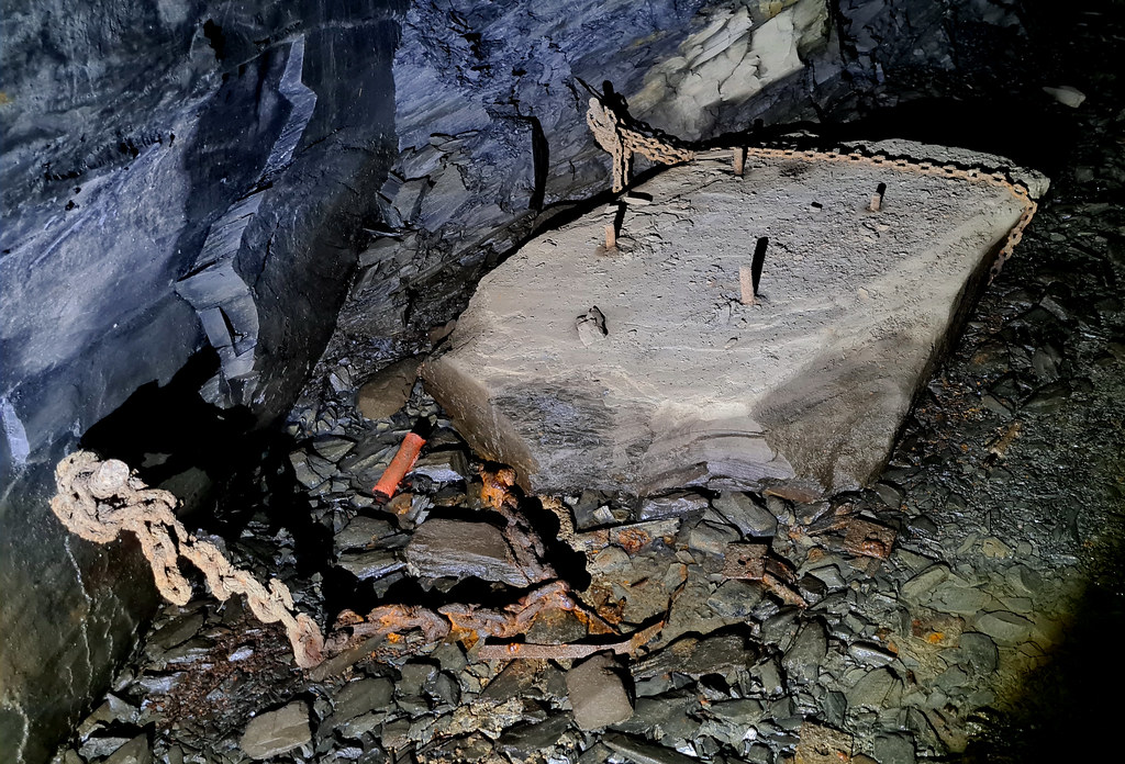
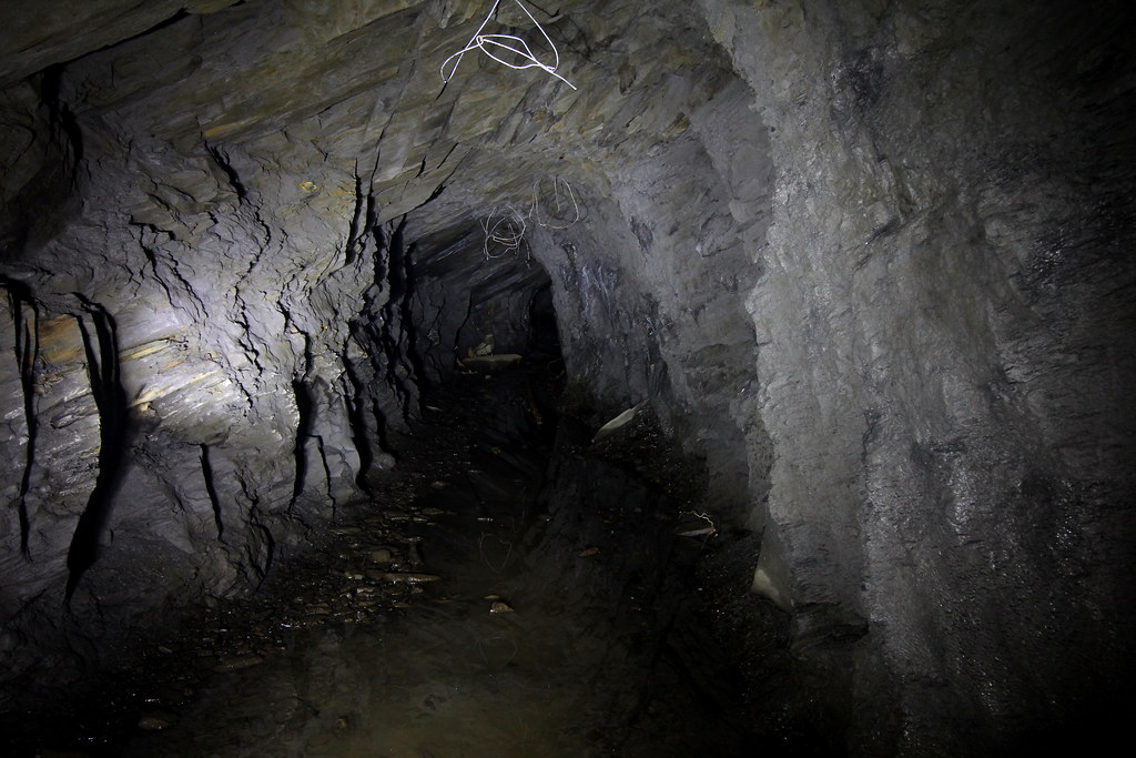
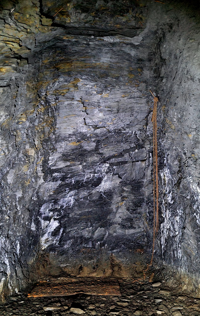
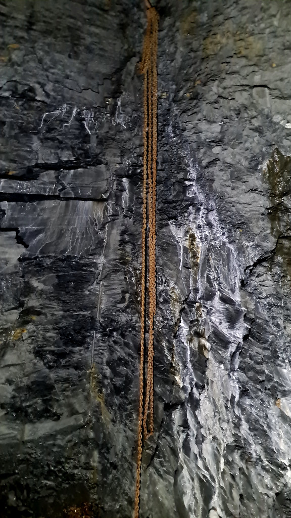
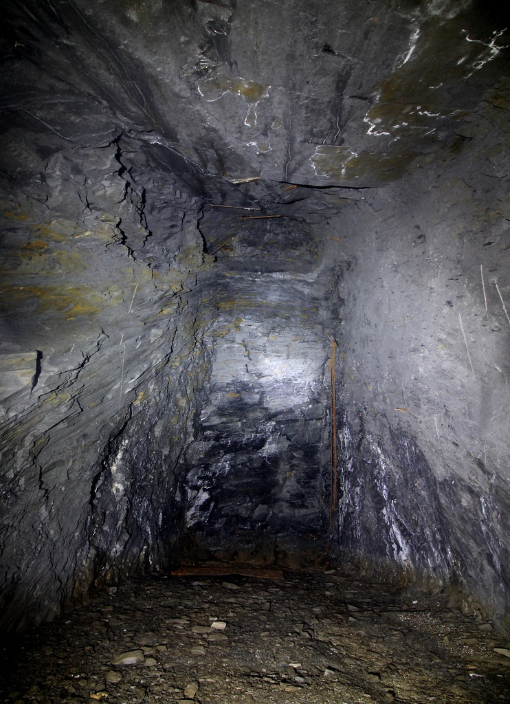
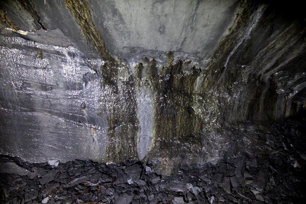
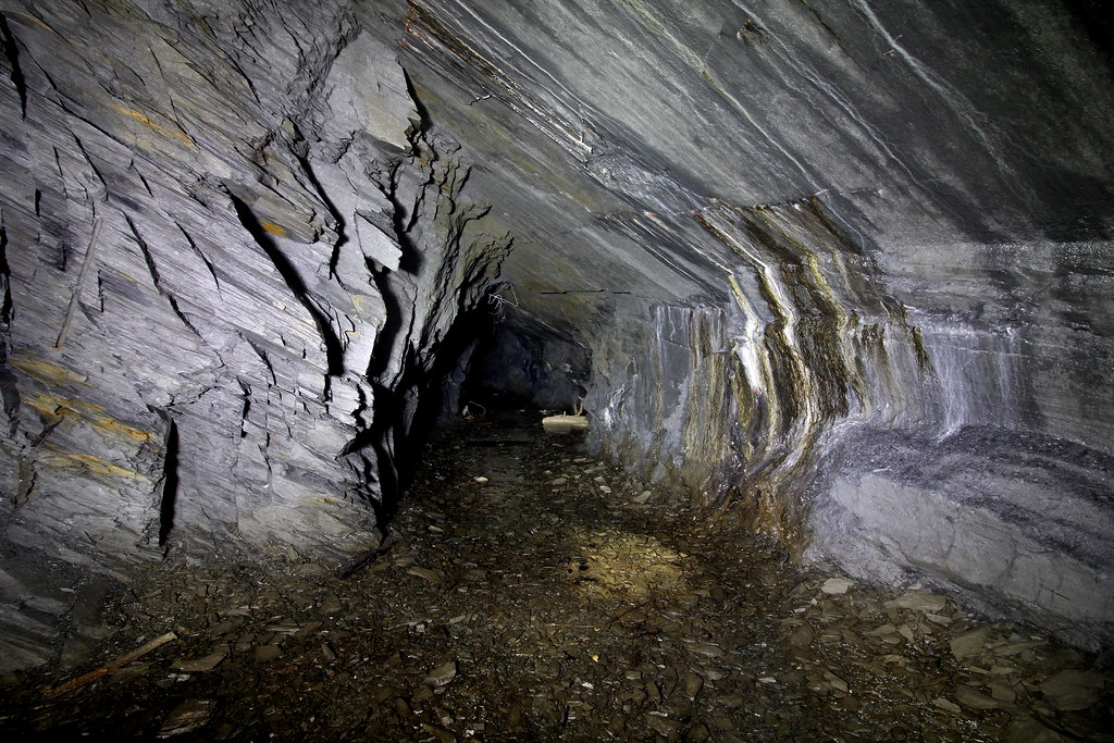
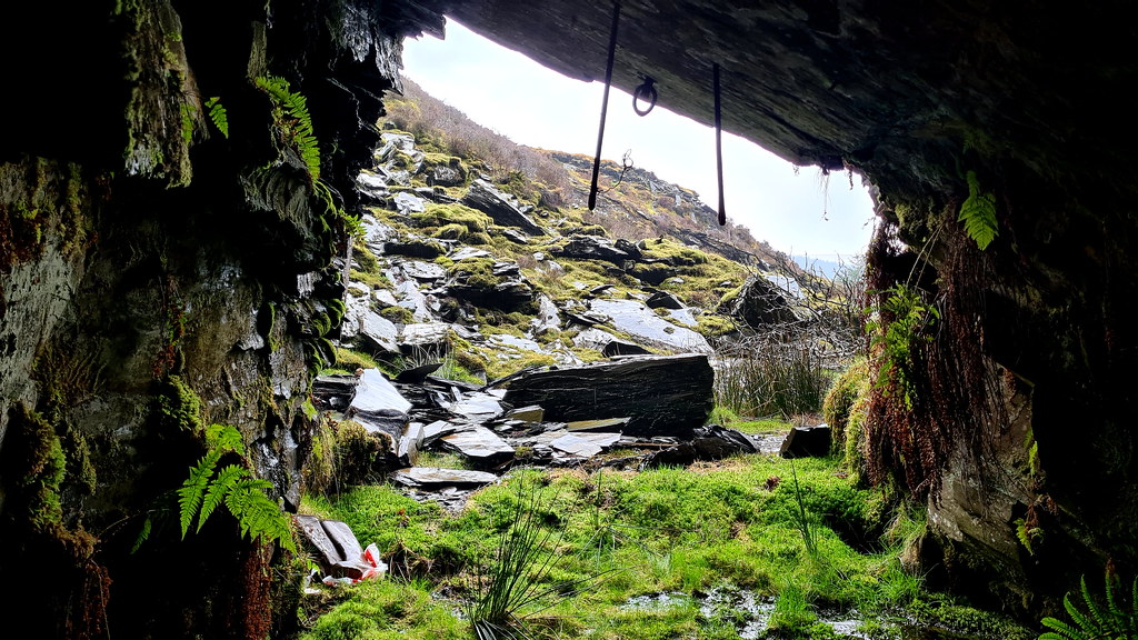
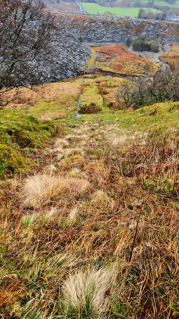
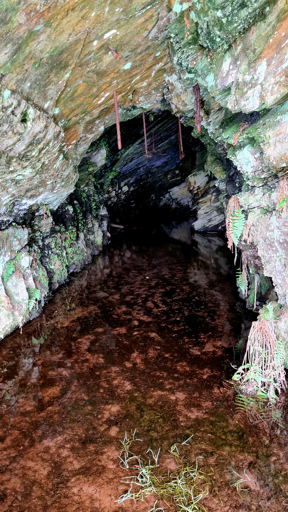
Fast forward two days and a rainy April morning. Having parked up, I headed up the quarry’s main track, then left along the bottom of the massive waste tip. The bridge over the river has long since collapsed so having negotiated the river-cum-stream started off at the bottom of the incline. It’s heavily grassed and easy enough to follow but very steep. After a leg-straining climb I arrived at the lower of the two quarries. The lower quarry had looked promising, but after having got past the bog at its entrance, it proved to be a bit of a disappointment. If there had been an adit here, it had long since been covered up by a collapse. Downhearted, I made my way up the shorter but equally as steep incline on to the second quarry where I knew there was an adit. The entrance was toward the top of my wellies but the adit soon opened out to the right and to a medium-sized gallery. I pushed on as the drive dried out. Another smaller gallery ran along the right size of the tunnel and then after another 50 or so metres the adit came to a dead end. Again, to the right was an entrance to the smallest of the three galleries. However, this one was a perfectly oblong gallery and had the miner’s haulage chains in situ. After I’d finished taking pictures of this small but interesting underground part of the quarries, I made my way back down the two inclines, only falling over once before getting back to the car, with the satisfaction of finally cracking this part of Penmachno.
3. The Pictures
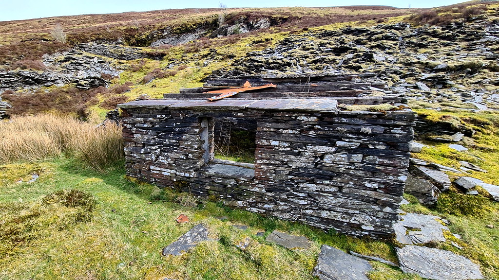
On the reccie day. Here’s the quarry keeper’s lodge outside of the top quarry:
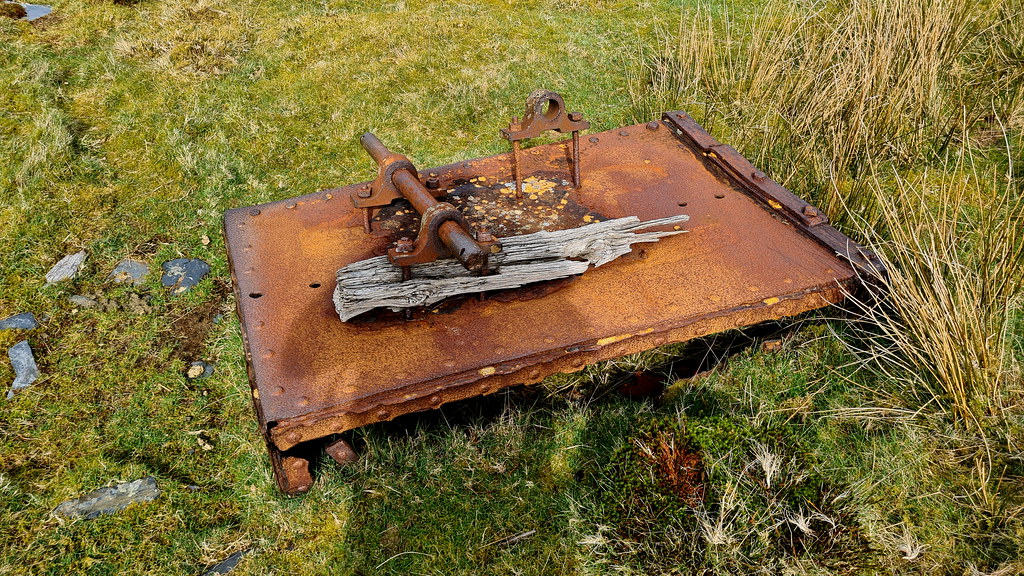
This looks like an up-turned slate wagon:
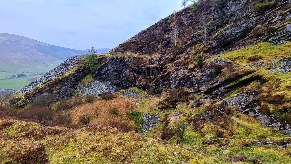
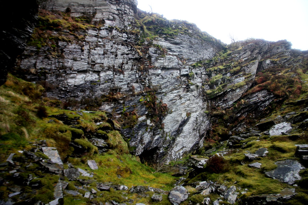
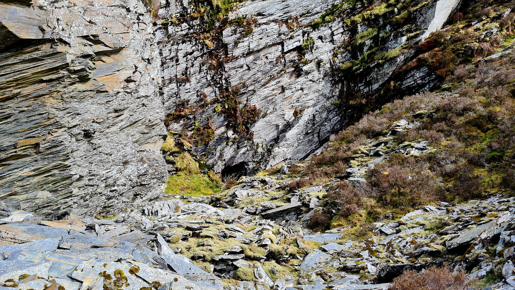
Here’s the view inside the top quarry:
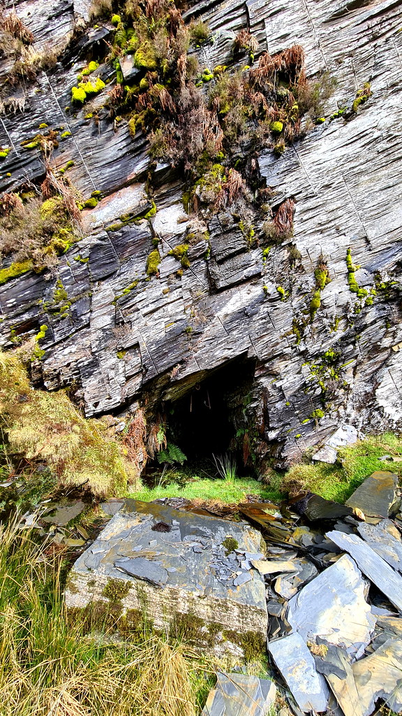
And a close-up of the adit:
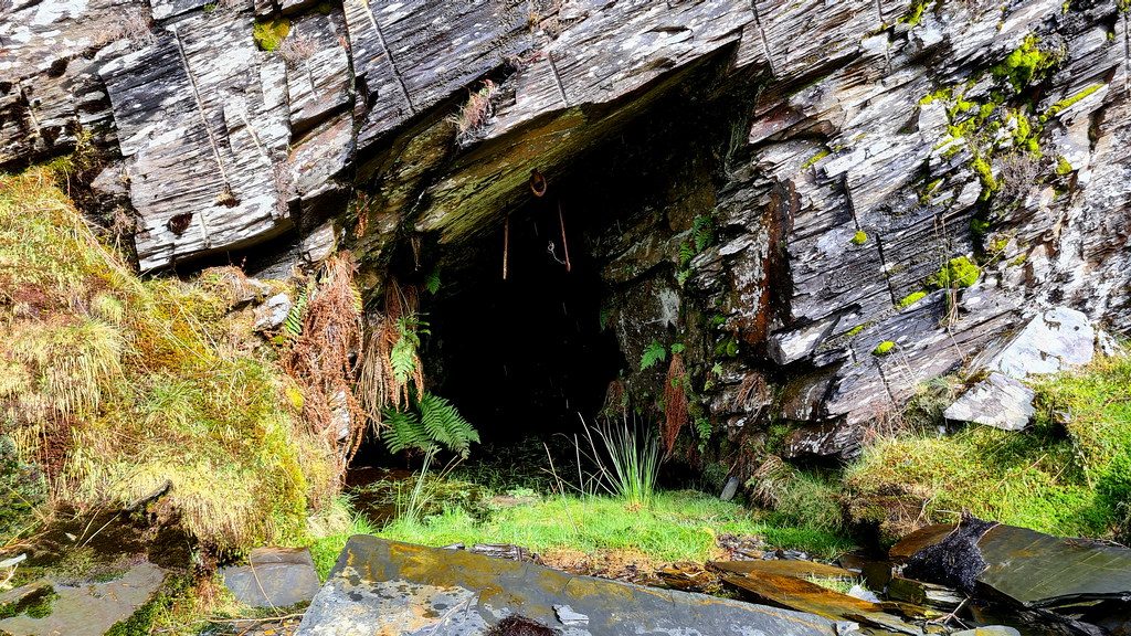
Looks promising but with no wellies it’s a no-go today:
Loving the shot holes in the quarry wall:
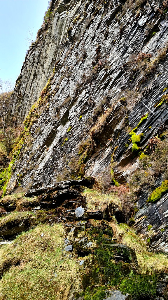
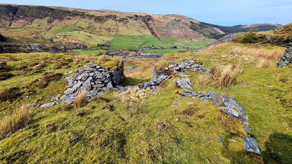
Bottom of the second, shorter incline:
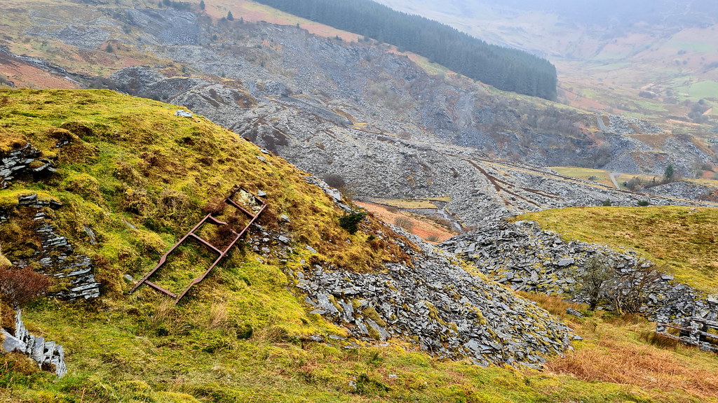
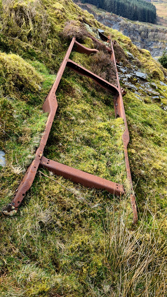
And some old iron work, looks like some kind of iron ladder or swing-arm:
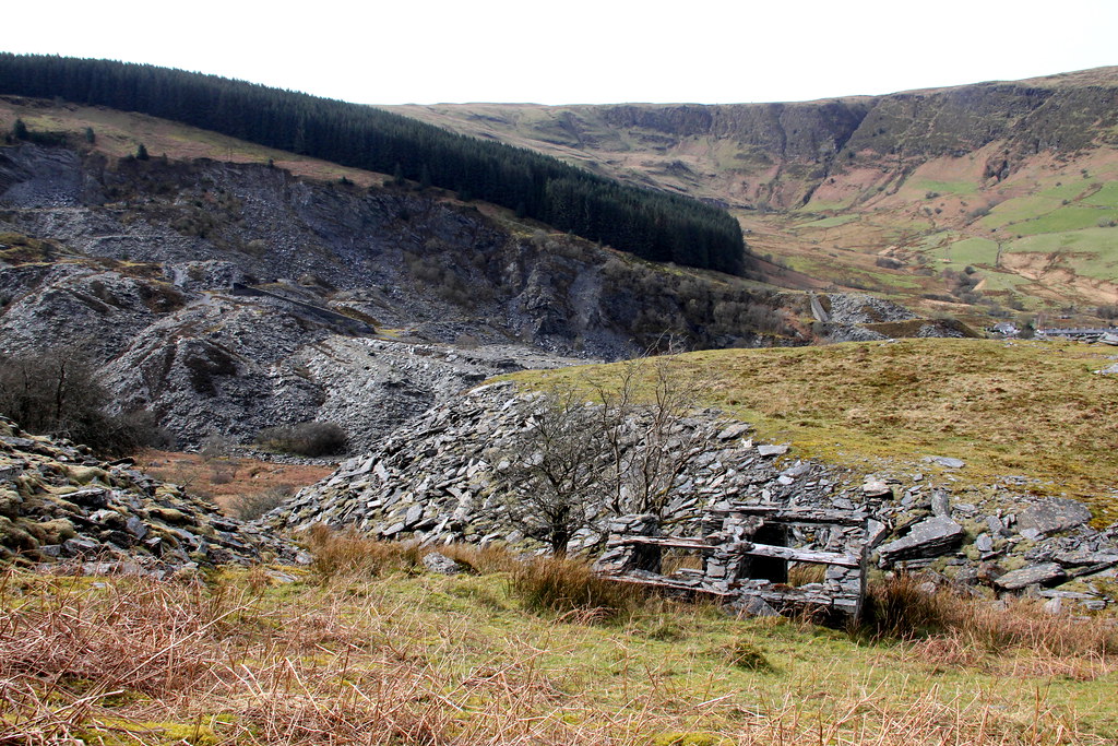
One of two quarrymen’s refuges at the entrance to the lower quarry:
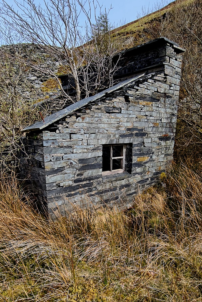
Here’s the other:
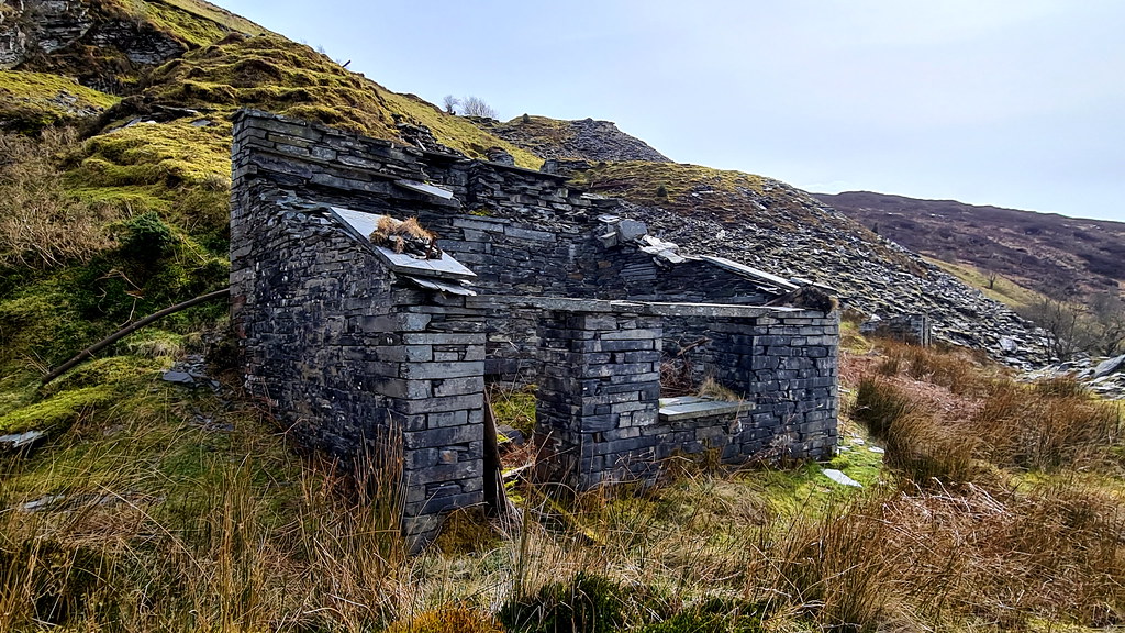
The entrance to the lower quarry is just too boggy:
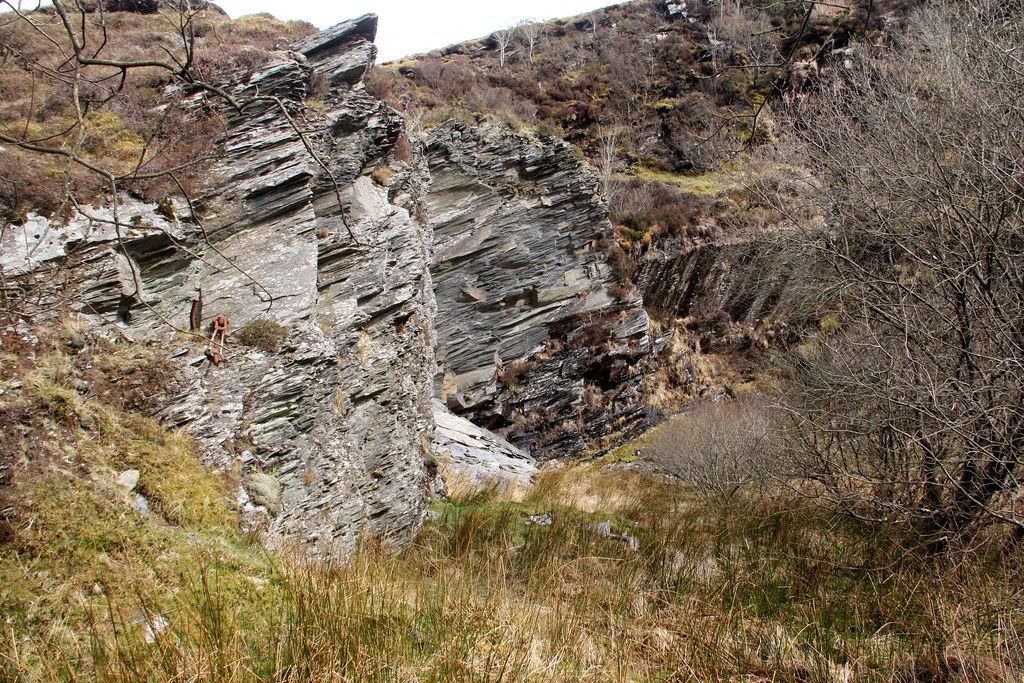
So, it’s back down to the bottom. The view back up the main incline having headed back down:
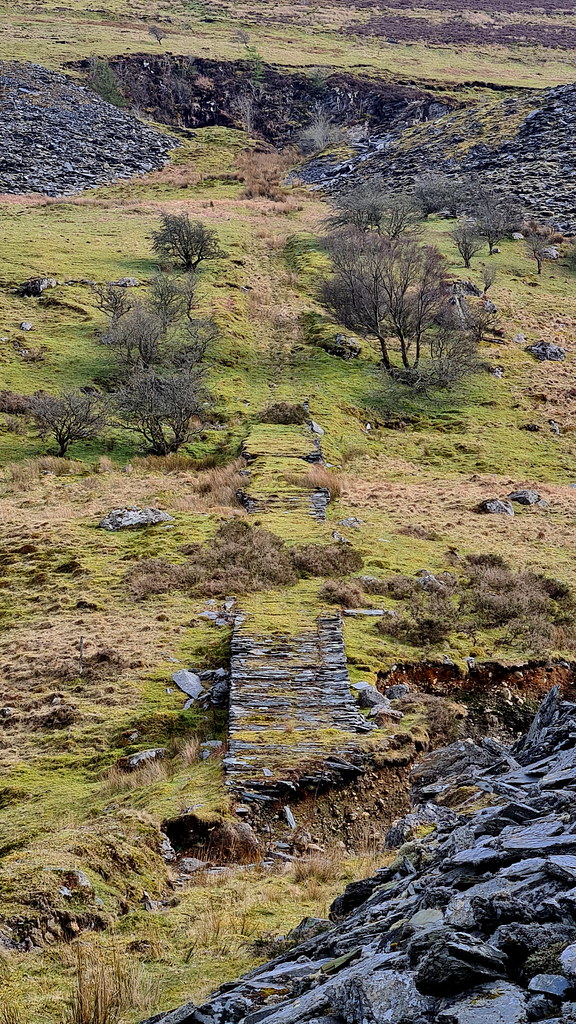
Here’s where the bridge over the river has collapsed:
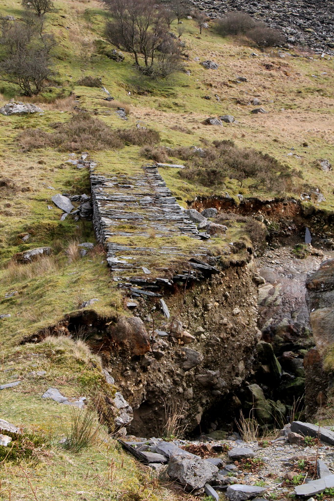
So on to the revisit a couple of days later. I’ve got to climb that!
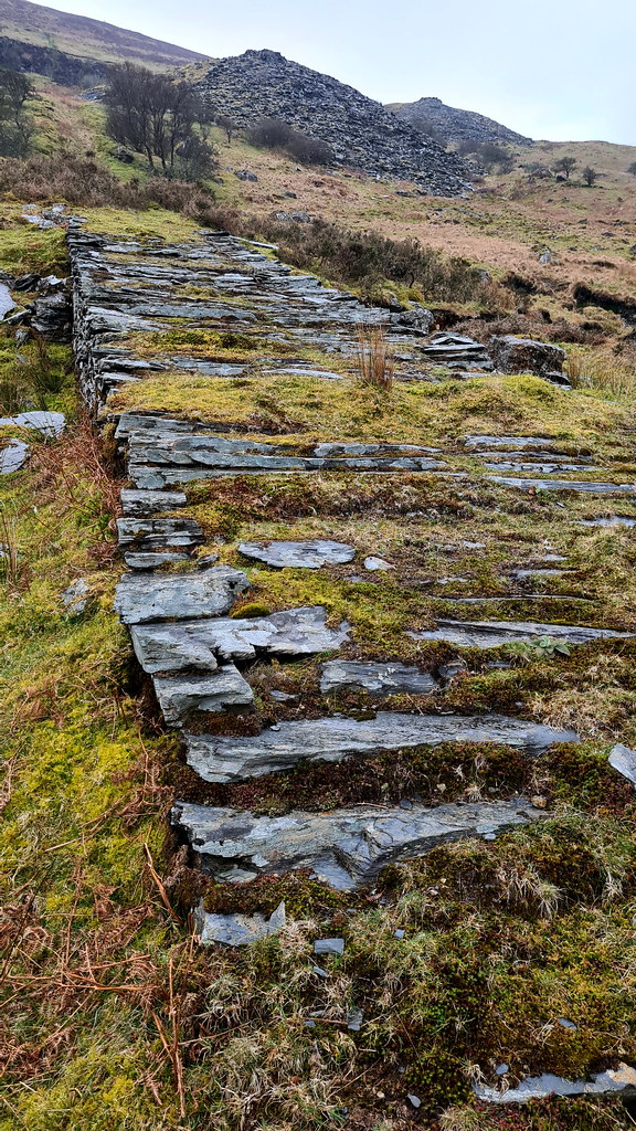
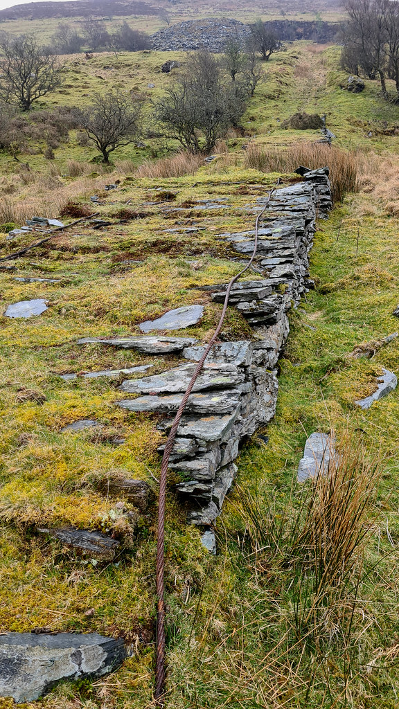
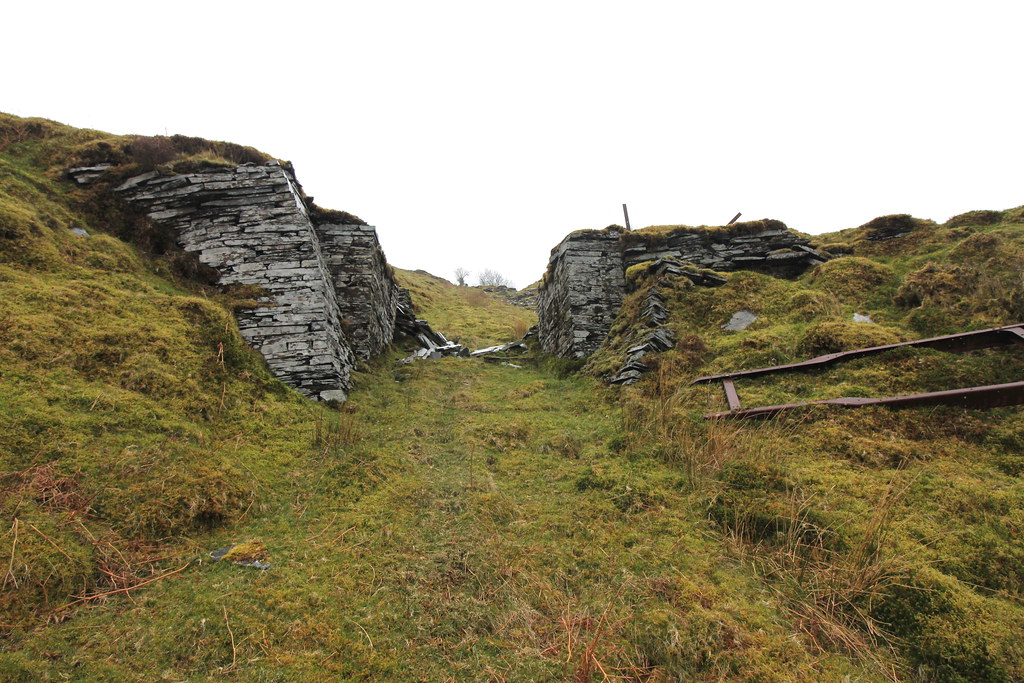
At last, were at the top of the main incline:
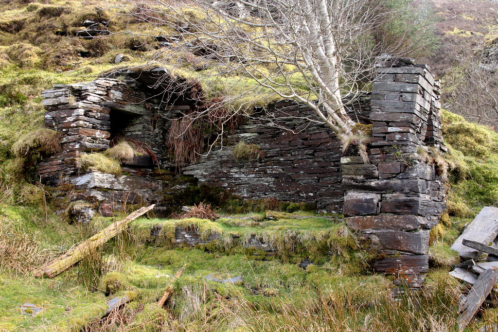
Overview of the lower quarry:
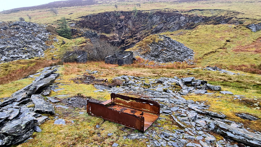
And the waste tip on the right-hand side:
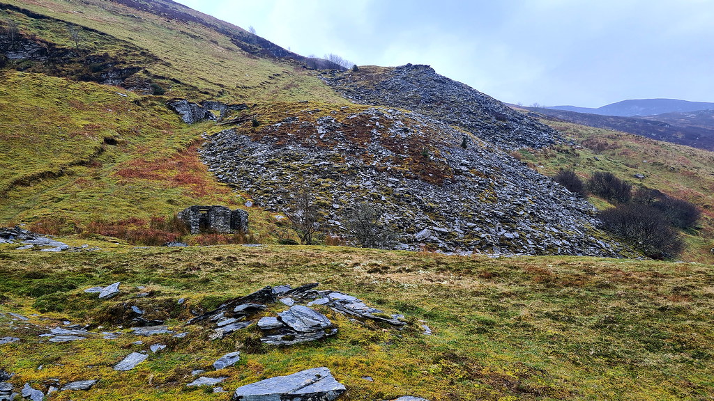
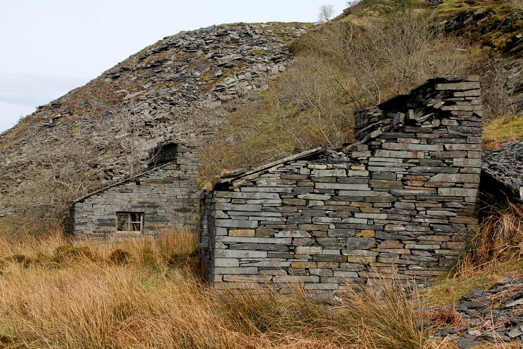
Window frame in one of the quarry mater’s refuges:
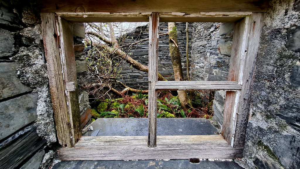
Which a tree now grows out of:
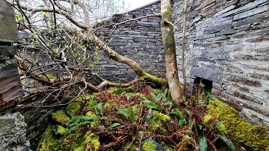
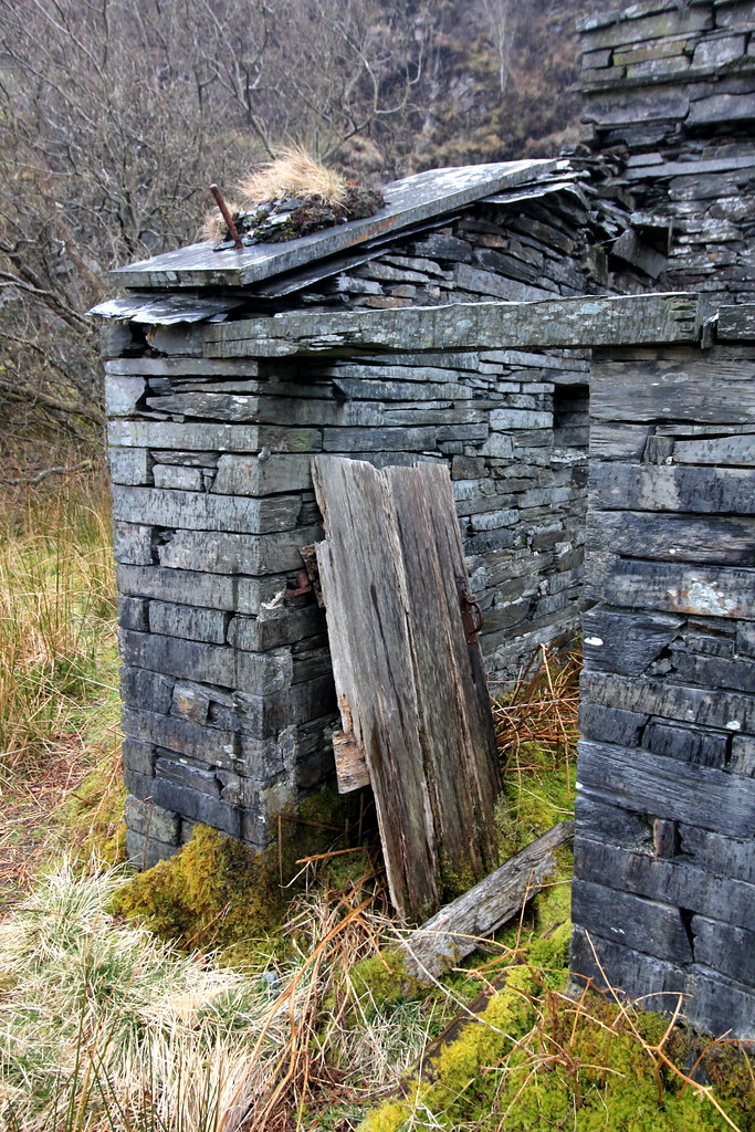
The remains of the original door in the other refuge:
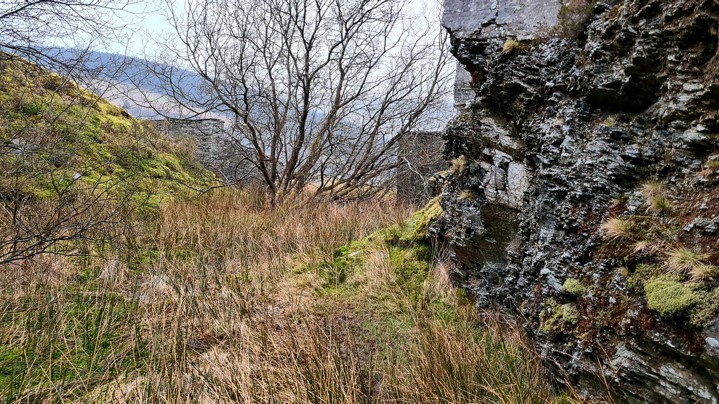
Through the boggy bit:
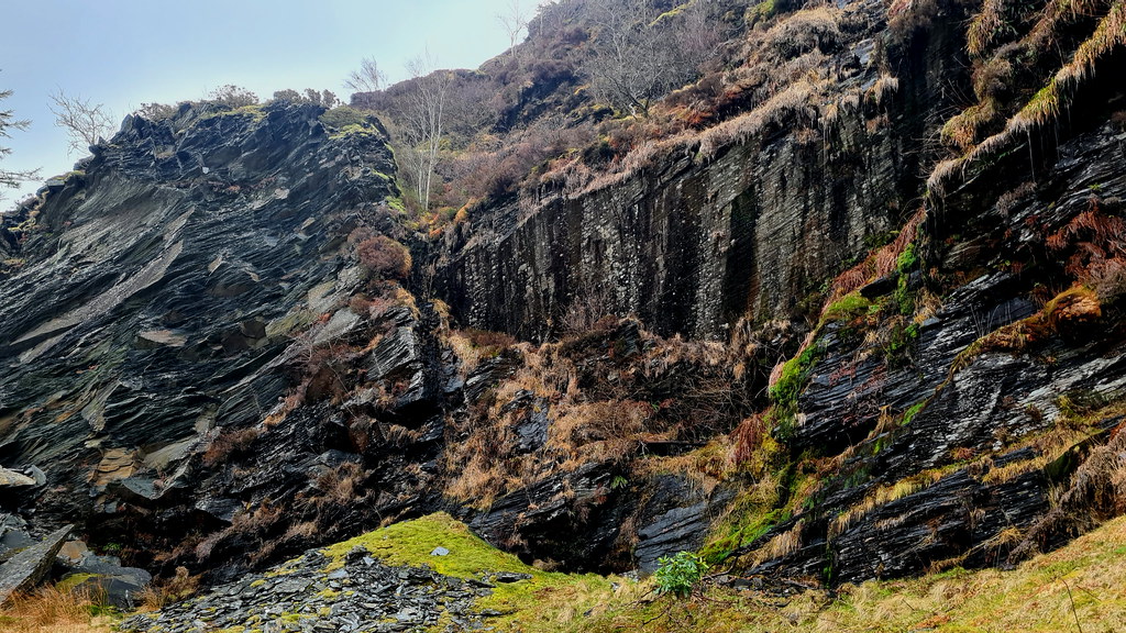
And into the first quarry for the first time:
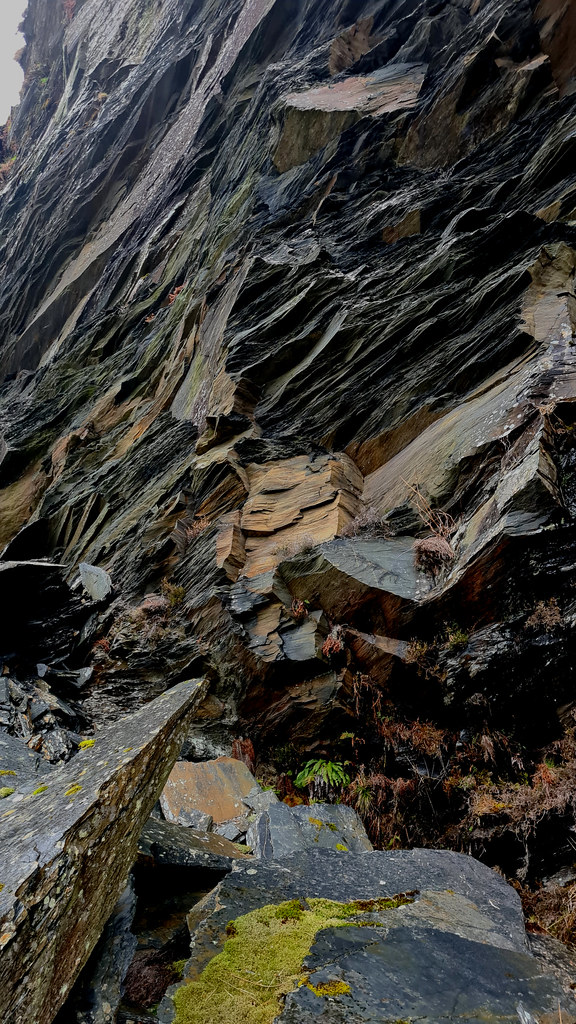
Is there an adit somewhere under there?
The history of the site as a whole can be found HERE ] on my previous report. There isn't a lot of history about this specific place, beyond that the quarries are located on the slopes of Moel Marchyria and opened in the 1830's. Consisting of two pit workings with some underground chambering, they were "subsidiary" quarries of Rhiw Fachno, with their output being processed at Rhiw Fachno.
2. The Explore
These two large quarries, with sizeable waste tips, lie East-South-East of the main quarry of Penmachno – or Rhiw Fachno as it is also referred to as. On previous visits, I’d eyed these workings with great interest given the size of their waste tips, but with no obvious way over there and it being a reasonable distance, I didn’t have a look. I struggled to ascertain whether they had their own name as they looked like a separate operation and then, just as I was about to post the report, found that they were in fact known as Rhos-Goch quarry.
An 1903 One-inch O/S map shows no workings while an 1913 map the southerly of the two workings is show as “Old quarry” (see below):

Latterly, a 1:25,000 map shows both quarries with main SE incline up to the northerly quarry (A) then a separate and shorter southerly spur up to the second quarry (B). Hence, my guess is these two quarries were worked in the early 1900s right up until circa 1960.

The main incline is now totally grassed over but the waste tips are unmissable and visible from all around the local area. I really didn’t know what to expect as having searched high and low on the internet, I couldn’t find a single photo of this part of Penmachno. This further fuelled my desire to check them out. Hence on a family walk up Penmachno, as the family decided to make the return descent along the footpath back to the car, I decided to make a beeline for the quarries. It was a foolish move! There was no footpath, an although it didn’t involve any climb, it involved yomping over the open moor. Exhausted, I finally arrived at the top quarry. It looked impressive and interesting with the many shot holes and an intriguing little adit when underground extraction of slate had undoubtedly taken place. Sadly, though it was a wellies job and I had only walking boots. Looked at the second quarry and didn’t get past the entrance it was so marshy. So headed back down the very steep and grass incline.
Fast forward two days and a rainy April morning. Having parked up, I headed up the quarry’s main track, then left along the bottom of the massive waste tip. The bridge over the river has long since collapsed so having negotiated the river-cum-stream started off at the bottom of the incline. It’s heavily grassed and easy enough to follow but very steep. After a leg-straining climb I arrived at the lower of the two quarries. The lower quarry had looked promising, but after having got past the bog at its entrance, it proved to be a bit of a disappointment. If there had been an adit here, it had long since been covered up by a collapse. Downhearted, I made my way up the shorter but equally as steep incline on to the second quarry where I knew there was an adit. The entrance was toward the top of my wellies but the adit soon opened out to the right and to a medium-sized gallery. I pushed on as the drive dried out. Another smaller gallery ran along the right size of the tunnel and then after another 50 or so metres the adit came to a dead end. Again, to the right was an entrance to the smallest of the three galleries. However, this one was a perfectly oblong gallery and had the miner’s haulage chains in situ. After I’d finished taking pictures of this small but interesting underground part of the quarries, I made my way back down the two inclines, only falling over once before getting back to the car, with the satisfaction of finally cracking this part of Penmachno.
3. The Pictures
On the reccie day. Here’s the quarry keeper’s lodge outside of the top quarry:

This looks like an up-turned slate wagon:

Here’s the view inside the top quarry:


And a close-up of the adit:

Looks promising but with no wellies it’s a no-go today:

Loving the shot holes in the quarry wall:

Bottom of the second, shorter incline:

And some old iron work, looks like some kind of iron ladder or swing-arm:

One of two quarrymen’s refuges at the entrance to the lower quarry:

Here’s the other:

The entrance to the lower quarry is just too boggy:

So, it’s back down to the bottom. The view back up the main incline having headed back down:

Here’s where the bridge over the river has collapsed:

So on to the revisit a couple of days later. I’ve got to climb that!


At last, were at the top of the main incline:

Overview of the lower quarry:

And the waste tip on the right-hand side:


Window frame in one of the quarry mater’s refuges:

Which a tree now grows out of:

The remains of the original door in the other refuge:

Through the boggy bit:

And into the first quarry for the first time:

Is there an adit somewhere under there?


