- Joined
- Jun 7, 2014
- Messages
- 3,061
- Reaction score
- 4,974
Watersaw Mine
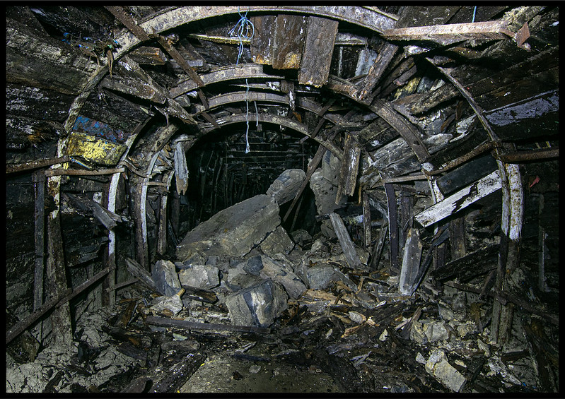
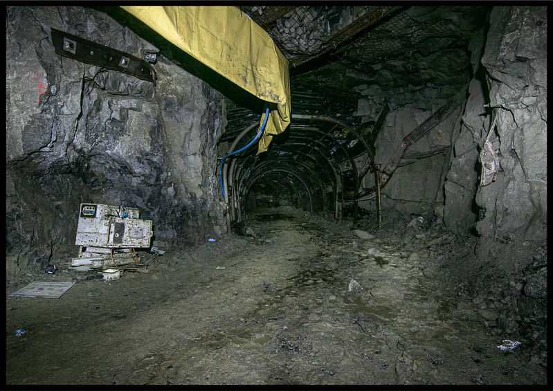
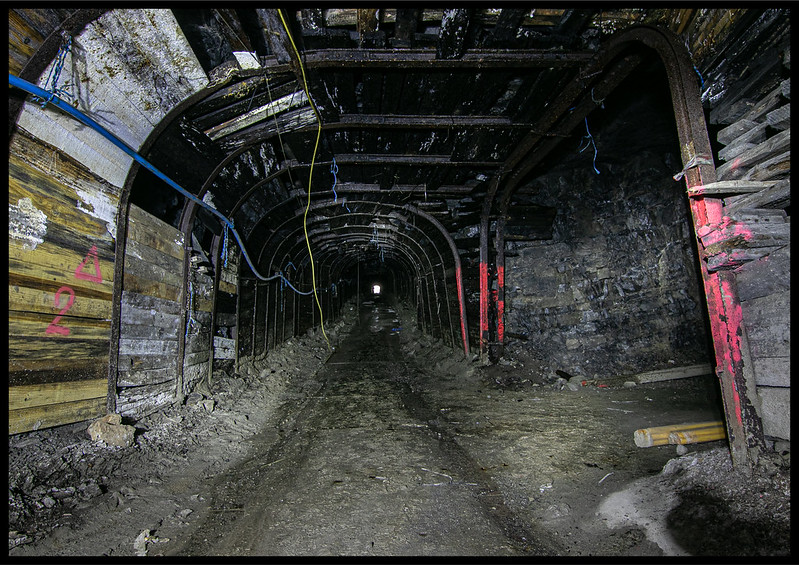
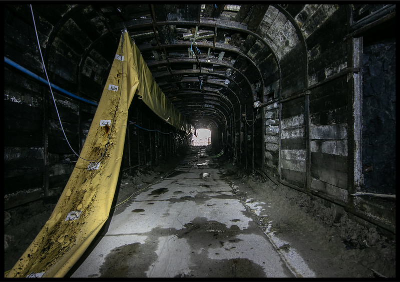
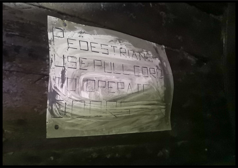
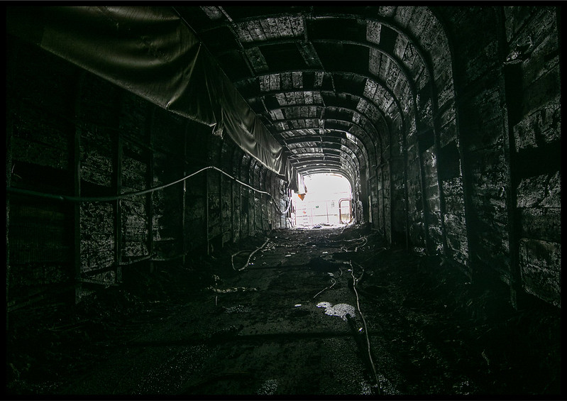
Watersaw Mine or Sallet Hole adit no.2 as it is also known was opened in 1965 and was originally owned by Laporte Minerals who worked it for fluorspar barytes lead. In 1987 after persistent tunnelling, it linked up with the lower Sallet Hole Mine. Watersaw then took over as the main haulage route after Sallet Hole closed. It consisted of an east and west ramp. The shorter east ramp was worked until around 2009. The longer west ramp which was linked to Sallet Hole no.1 adit was worked until the mine closed in December 2010.
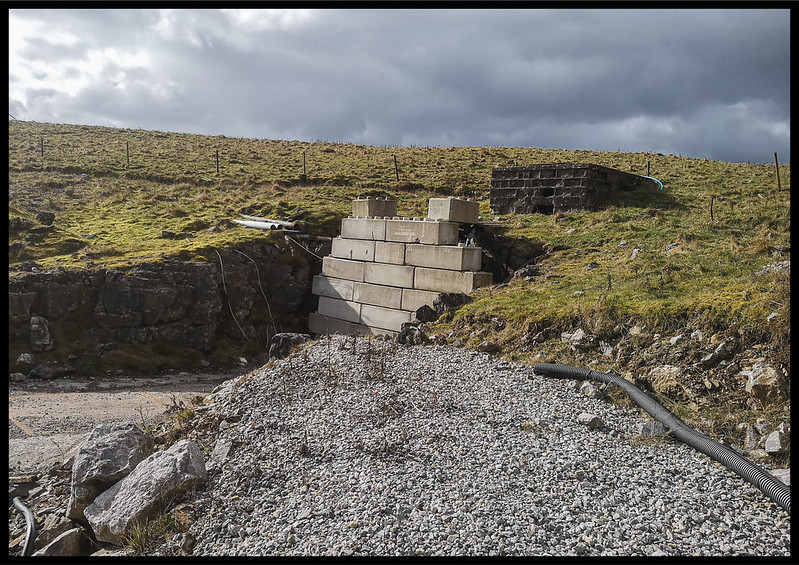
The site was cleared, and the mine put on a ‘care and maintenance’ programme by the current owners, British Fluorite Limited, due to consented ore reserves still remaining and a desire by BFL to maintain the option of re-commencing fluorspar operations underground, subject to commercial viability and availability of alternative sources of supply. It was estimated that if workings were to resume, Watersaw could produce between 300 – 600 tonnes of fluorspar ore per day. Despite this, the mine has not re-opened and has suffered three managed surface collapses above where the fluorspar vein has been worked.
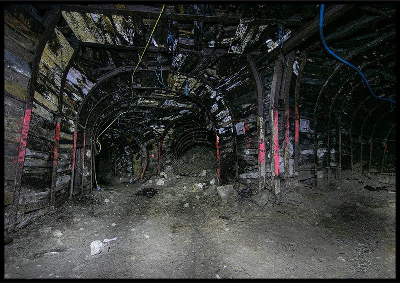
Did this solo after a morning elsewhere with @HughieD , fairly relaxed explore though I would of liked to of gone further over some collapses etc but didnt risk it on my own.
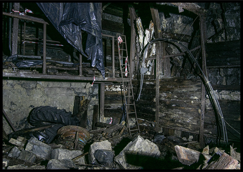
The tunnels appeared to carry on above this ladder but wooden floor looked very sketchey.
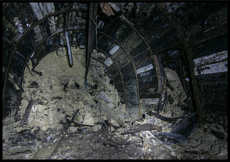
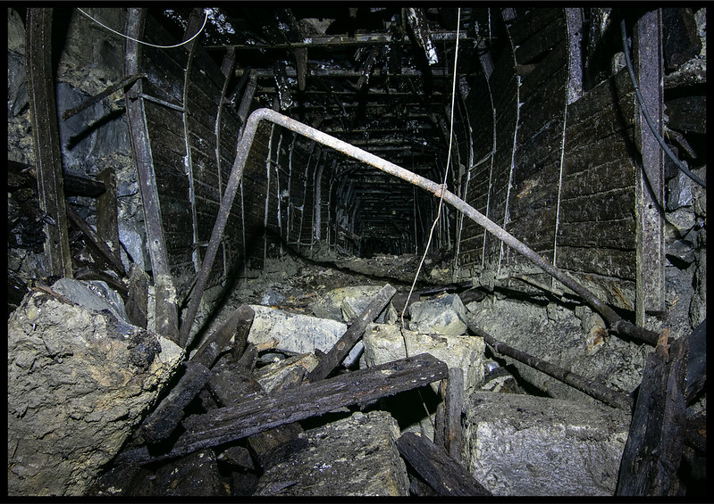
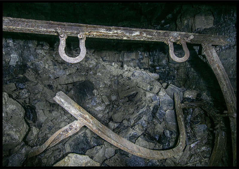
this place dose seem to of changed with further collapses since earlier reports.
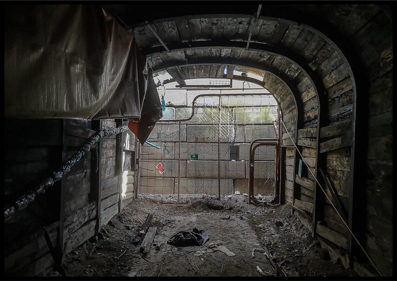
Thats all from here
Watersaw Mine or Sallet Hole adit no.2 as it is also known was opened in 1965 and was originally owned by Laporte Minerals who worked it for fluorspar barytes lead. In 1987 after persistent tunnelling, it linked up with the lower Sallet Hole Mine. Watersaw then took over as the main haulage route after Sallet Hole closed. It consisted of an east and west ramp. The shorter east ramp was worked until around 2009. The longer west ramp which was linked to Sallet Hole no.1 adit was worked until the mine closed in December 2010.
The site was cleared, and the mine put on a ‘care and maintenance’ programme by the current owners, British Fluorite Limited, due to consented ore reserves still remaining and a desire by BFL to maintain the option of re-commencing fluorspar operations underground, subject to commercial viability and availability of alternative sources of supply. It was estimated that if workings were to resume, Watersaw could produce between 300 – 600 tonnes of fluorspar ore per day. Despite this, the mine has not re-opened and has suffered three managed surface collapses above where the fluorspar vein has been worked.
Did this solo after a morning elsewhere with @HughieD , fairly relaxed explore though I would of liked to of gone further over some collapses etc but didnt risk it on my own.
The tunnels appeared to carry on above this ladder but wooden floor looked very sketchey.
this place dose seem to of changed with further collapses since earlier reports.
Thats all from here


