- Joined
- Jan 6, 2013
- Messages
- 5,647
- Reaction score
- 11,333
1. The History
Not a massive amount of info out there on Ball Eye Quarry. Also referred to as Balleye, it is located close to the Via Gellia Mills car park, south-west of Matlock Bath, between the Derbyshire villages of Bonsall and Cromford.
It was an active limestone quarry owned and operated by Deepwood Mining Co Ltd. It worked a mineral vein for fluorspar and baryte along with a galena-bearing mineral vein. The area is known for producing specimens of dark blue fluorite, baryte, anglesite, cerussite, malachite and smithsonite. The area has also seen extensive mining for the aforementioned minerals and the workings of Ball Eye Mine sit below Ball Eye Quarry. A number of small veins and replacement flats at the mine were worked for lead, but these workings were intersected by the limestone quarry above during the 1970-80s.
There’s no information on when the quarry closed but it appears to have been in operation up to 2014. Meanwhile Deep Wood Mining Company are still registered at Companies house head0quartered at Water Lane, Cromford.
2. The Explore
Had a look around slopes of Via Gellia Road for some silver mines to no avail so in the end thought we’d have a shufty at this old quarry. It’s an easy in and looks like it has been left for a number of years. There isn’t an awful amount there in terms of buildings and all of the plant has been moved out. That said, there’s enough to keep you occupied for an hour so and it makes for a relaxed mooch.
3. The Pictures
Soooo many signs!
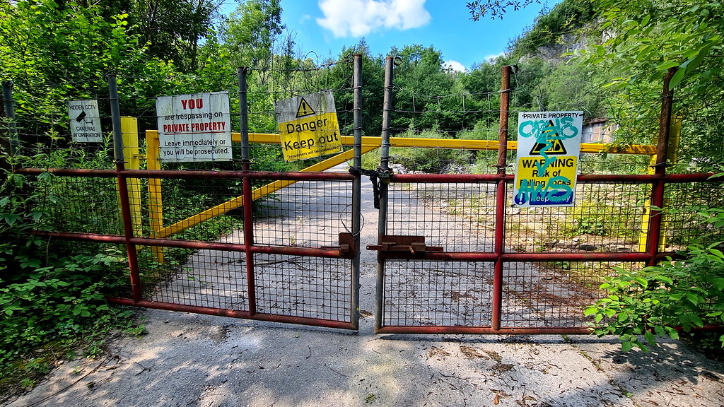 Ball Eye 10 by HughieDW, on Flickr
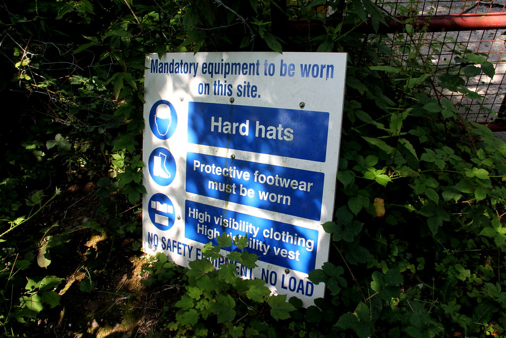 img1500 by HughieDW, on Flickr
Not too sure what this is:
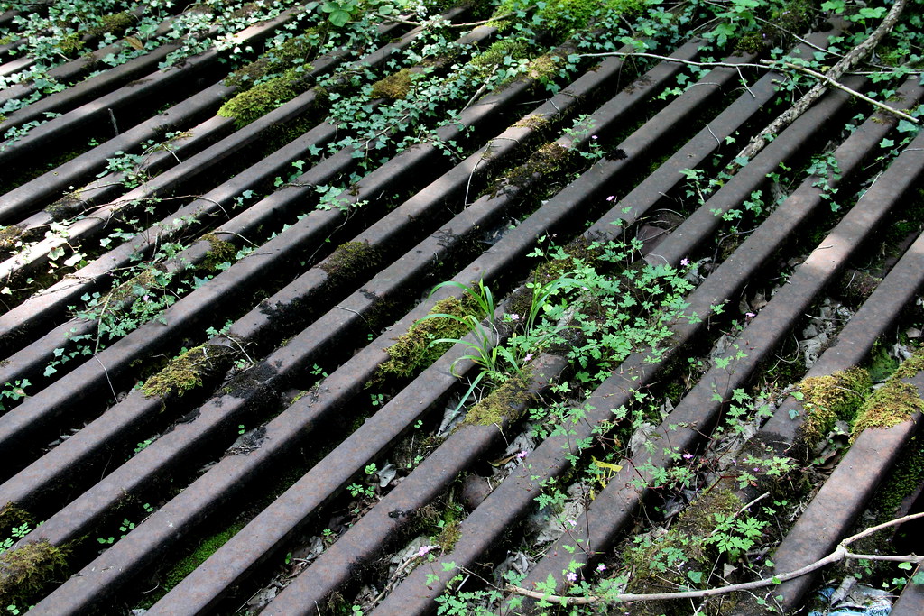 img1504 by HughieDW, on Flickr
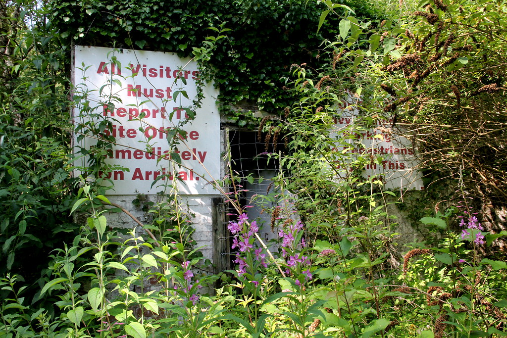 img1503 by HughieDW, on Flickr
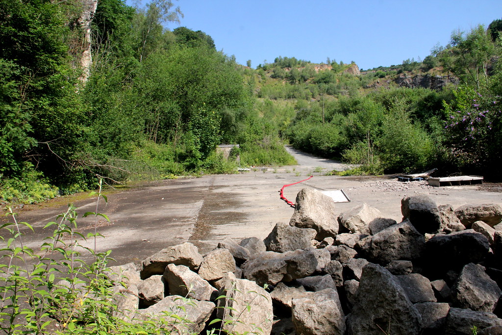 img1491 by HughieDW, on Flickr
Small stone-built building:
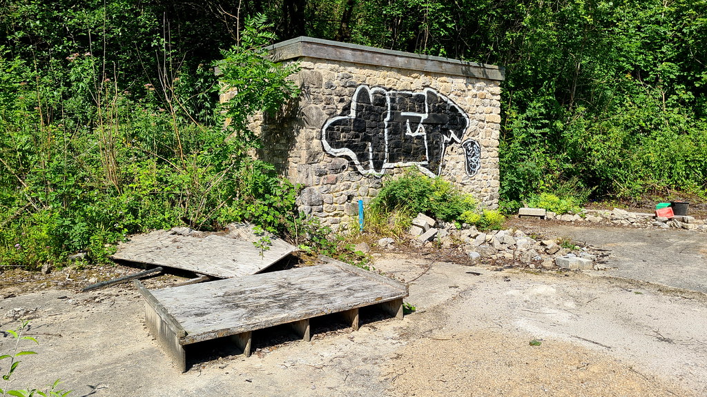 Ball Eye 08 by HughieDW, on Flickr
Not too much inside. Some sort of utilities supply:
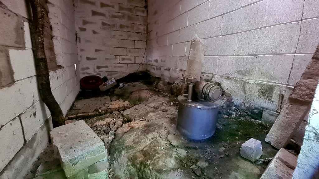 Ball Eye 07 by HughieDW, on Flickr
Forget a spray paint know. All hail the stone sculpture knob!
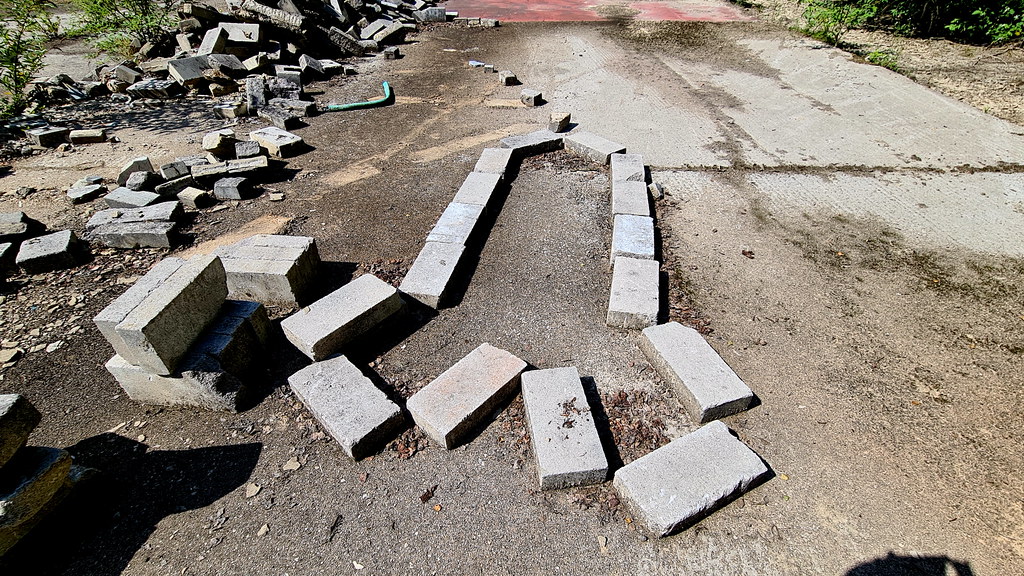 Ball Eye 09 by HughieDW, on Flickr
On to the site office:
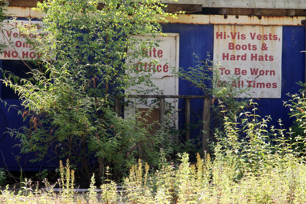 img1488 by HughieDW, on Flickr
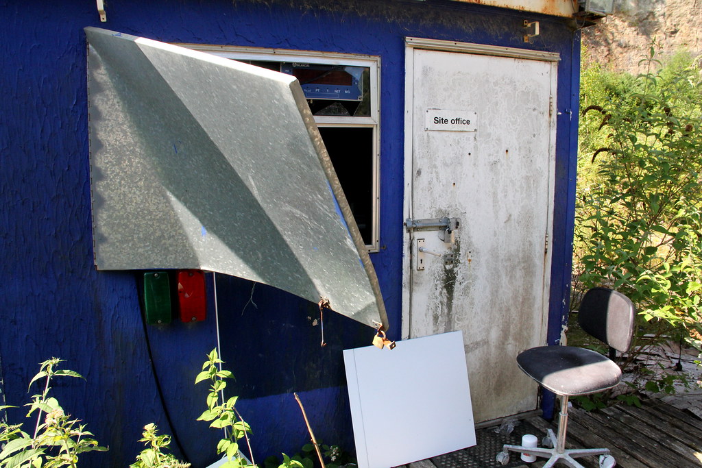 img1478 by HughieDW, on Flickr
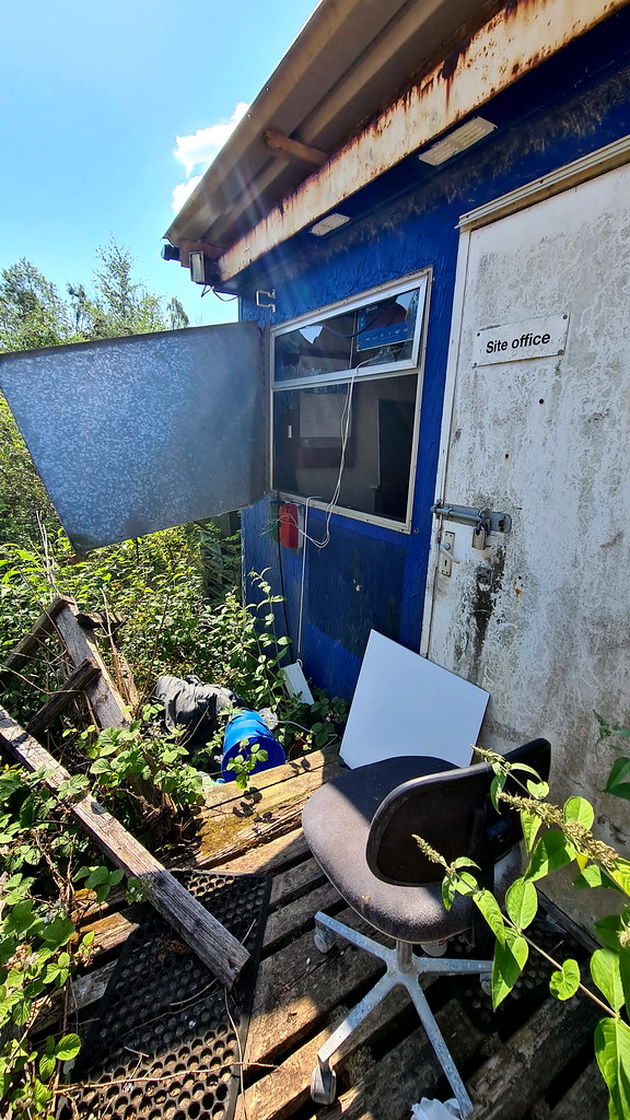 Ball Eye 06 by HughieDW, on Flickr
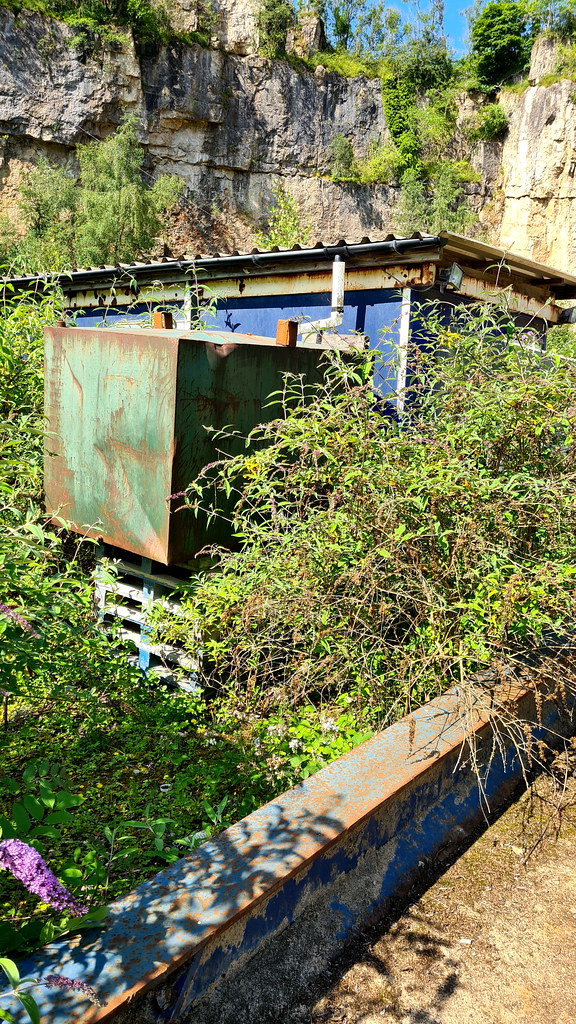 Ball Eye 04 by HughieDW, on Flickr
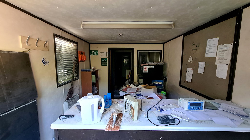 Ball Eye 05 by HughieDW, on Flickr
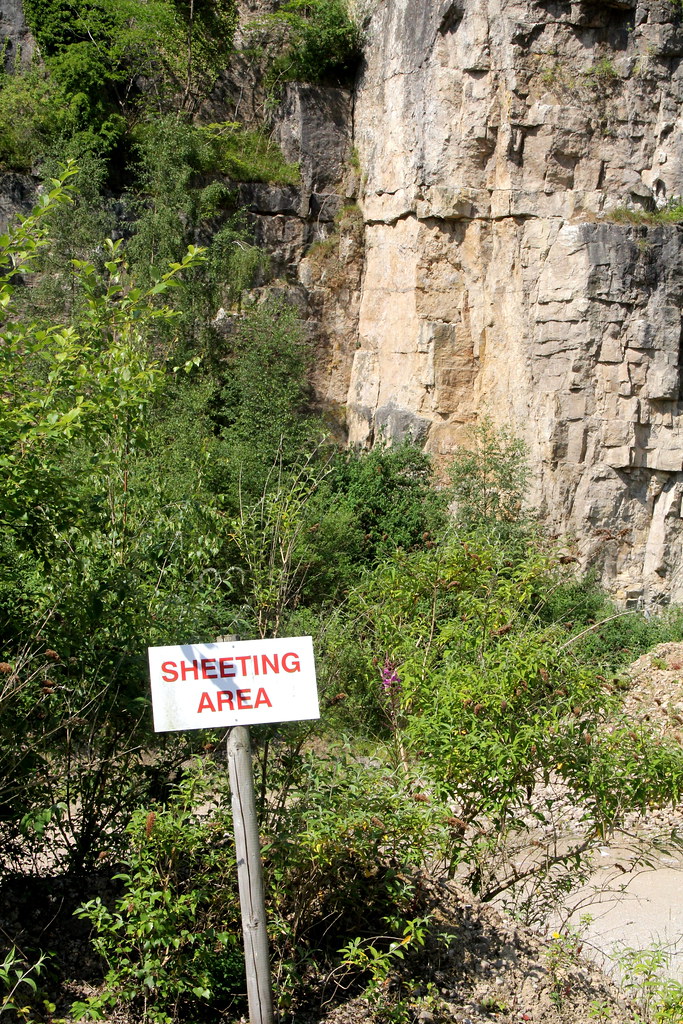 img1487 by HughieDW, on Flickr
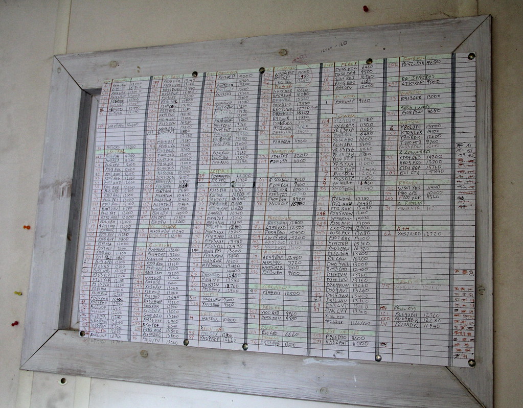 img1484 by HughieDW, on Flickr
Weigh-bridge display:
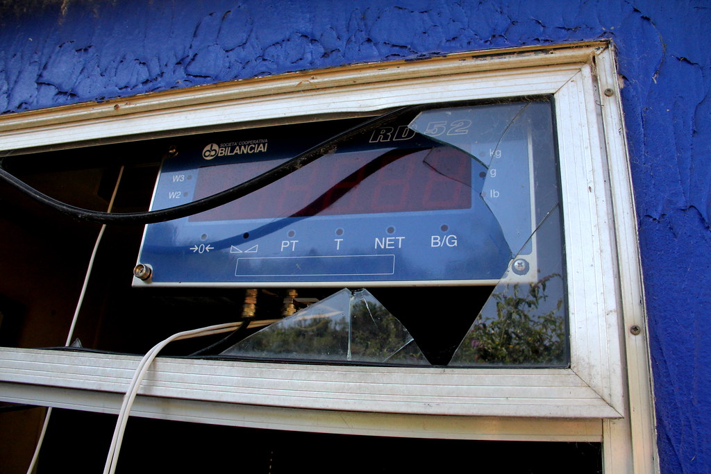 img1483 by HughieDW, on Flickr
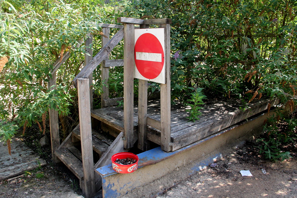 img1481 by HughieDW, on Flickr
And then on to the container round the corner:
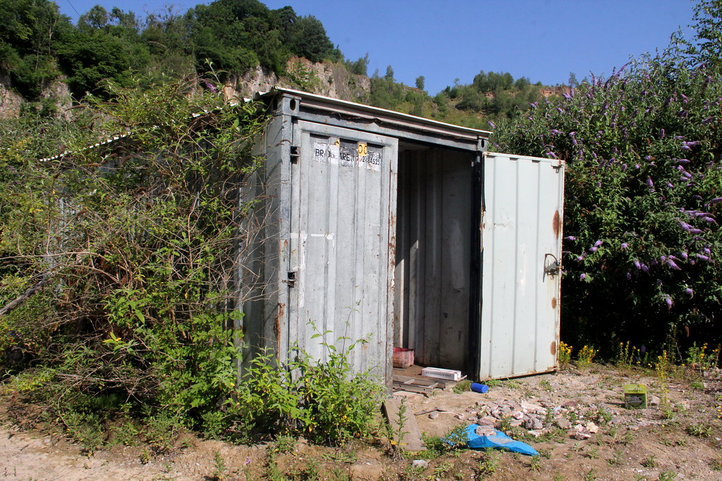 img1477 by HughieDW, on Flickr
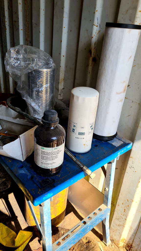 Ball Eye 02 by HughieDW, on Flickr
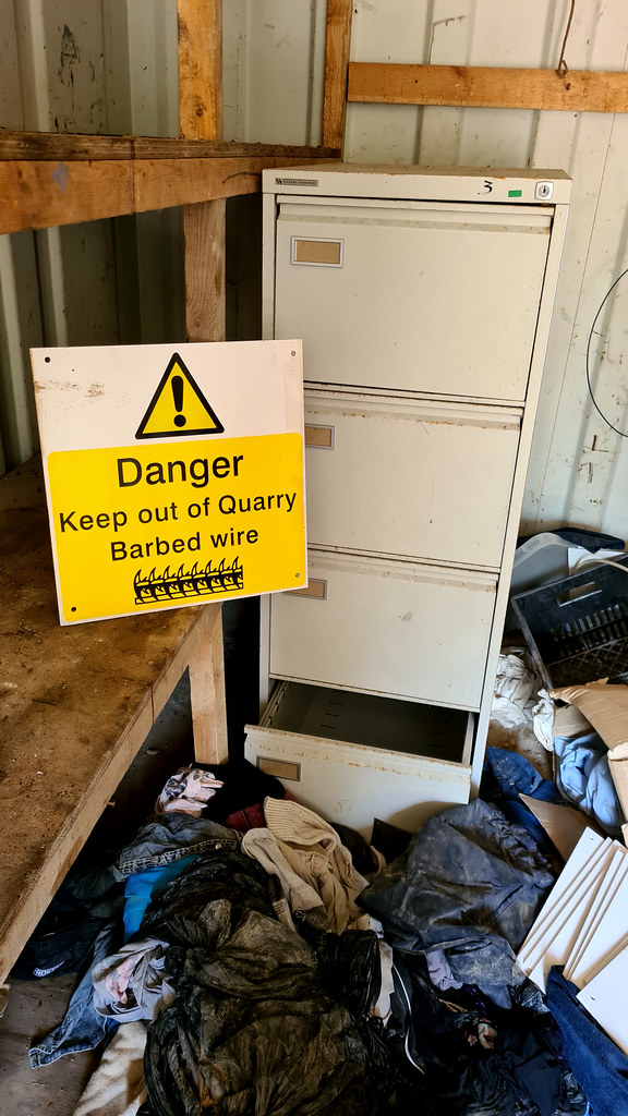 Ball Eye 03 by HughieDW, on Flickr
Bits and bobs box!
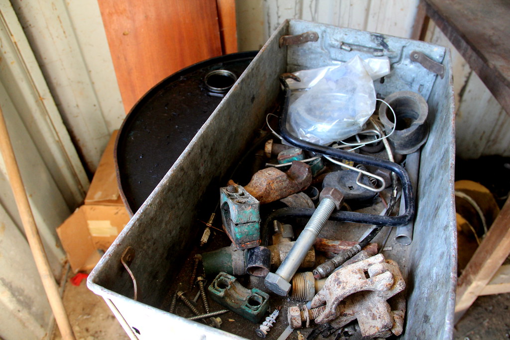 img1476 by HughieDW, on Flickr
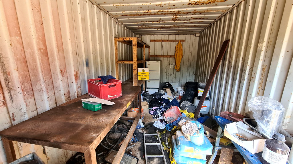 Ball Eye 01 by HughieDW, on Flickr
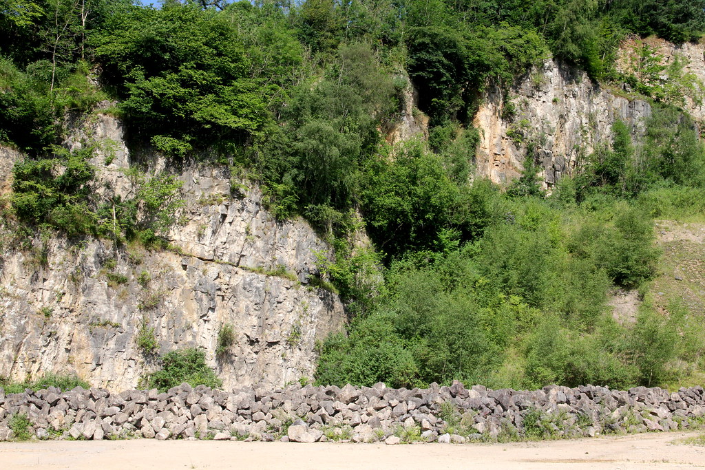 img1480 by HughieDW, on Flickr
Some of the quarry’s former produce that was left behind:
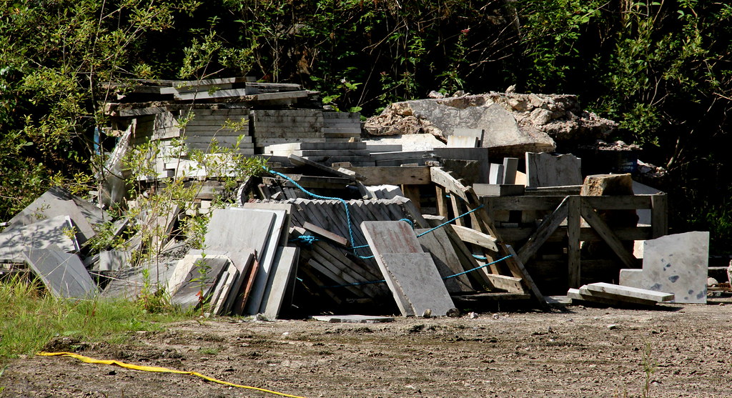 img1499 by HughieDW, on Flickr
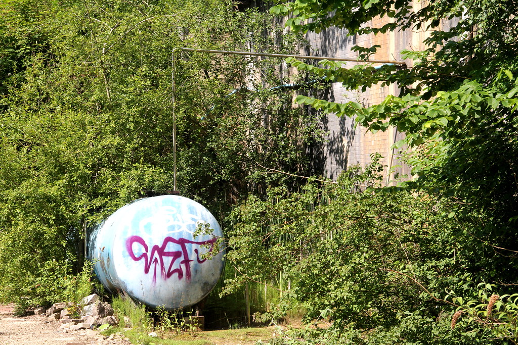 img1496 by HughieDW, on Flickr
That’s all folks:
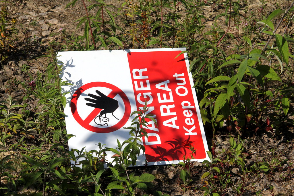 img1479 by HughieDW, on Flickr
Not a massive amount of info out there on Ball Eye Quarry. Also referred to as Balleye, it is located close to the Via Gellia Mills car park, south-west of Matlock Bath, between the Derbyshire villages of Bonsall and Cromford.
It was an active limestone quarry owned and operated by Deepwood Mining Co Ltd. It worked a mineral vein for fluorspar and baryte along with a galena-bearing mineral vein. The area is known for producing specimens of dark blue fluorite, baryte, anglesite, cerussite, malachite and smithsonite. The area has also seen extensive mining for the aforementioned minerals and the workings of Ball Eye Mine sit below Ball Eye Quarry. A number of small veins and replacement flats at the mine were worked for lead, but these workings were intersected by the limestone quarry above during the 1970-80s.
There’s no information on when the quarry closed but it appears to have been in operation up to 2014. Meanwhile Deep Wood Mining Company are still registered at Companies house head0quartered at Water Lane, Cromford.
2. The Explore
Had a look around slopes of Via Gellia Road for some silver mines to no avail so in the end thought we’d have a shufty at this old quarry. It’s an easy in and looks like it has been left for a number of years. There isn’t an awful amount there in terms of buildings and all of the plant has been moved out. That said, there’s enough to keep you occupied for an hour so and it makes for a relaxed mooch.
3. The Pictures
Soooo many signs!
 Ball Eye 10 by HughieDW, on Flickr
 img1500 by HughieDW, on Flickr
Not too sure what this is:
 img1504 by HughieDW, on Flickr
 img1503 by HughieDW, on Flickr
 img1491 by HughieDW, on Flickr
Small stone-built building:
 Ball Eye 08 by HughieDW, on Flickr
Not too much inside. Some sort of utilities supply:
 Ball Eye 07 by HughieDW, on Flickr
Forget a spray paint know. All hail the stone sculpture knob!
 Ball Eye 09 by HughieDW, on Flickr
On to the site office:
 img1488 by HughieDW, on Flickr
 img1478 by HughieDW, on Flickr
 Ball Eye 06 by HughieDW, on Flickr
 Ball Eye 04 by HughieDW, on Flickr
 Ball Eye 05 by HughieDW, on Flickr
 img1487 by HughieDW, on Flickr
 img1484 by HughieDW, on Flickr
Weigh-bridge display:
 img1483 by HughieDW, on Flickr
 img1481 by HughieDW, on Flickr
And then on to the container round the corner:
 img1477 by HughieDW, on Flickr
 Ball Eye 02 by HughieDW, on Flickr
 Ball Eye 03 by HughieDW, on Flickr
Bits and bobs box!
 img1476 by HughieDW, on Flickr
 Ball Eye 01 by HughieDW, on Flickr
 img1480 by HughieDW, on Flickr
Some of the quarry’s former produce that was left behind:
 img1499 by HughieDW, on Flickr
 img1496 by HughieDW, on Flickr
That’s all folks:
 img1479 by HughieDW, on Flickr


