


- Joined
- Jan 6, 2013
- Messages
- 5,637
- Reaction score
- 11,312
Inspired by @Stealthstar79 and her report on Harlaxton decontamination hospital, popped over to look at how work was progressing. It quickly became apparent that the site was very much live and workers were on site working on the two buildings. Previous report I did on the place along with the little bit of history I could find about the place is HERE
So on to Plan B. Due east on the old 1940’s O/S map I’d spotted what was the hospital’s sewage facility:
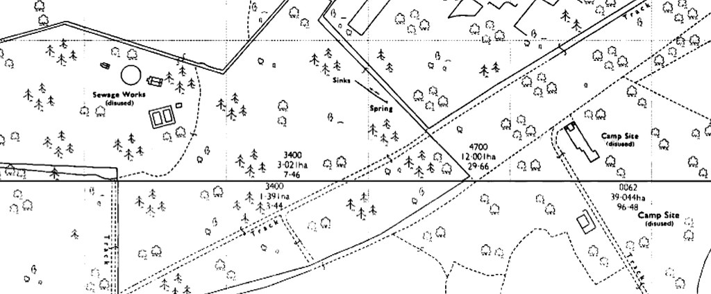
So off I traipsed, through woods and field. And after 20 or so minutes, there was indeed the camp’s sewage works. It wasn’t spectacular, but at least it was something to photograph and something that doesn’t appear to have been photographed before.
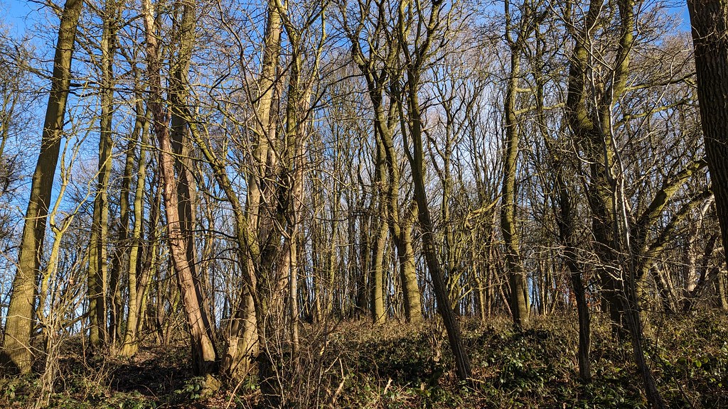
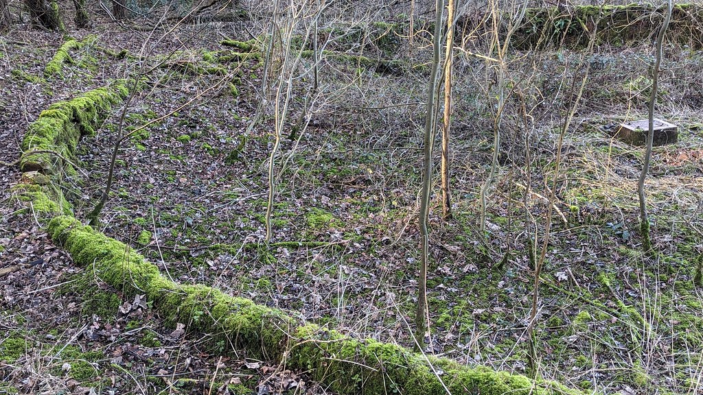
Through the trees we go:
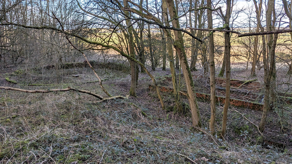
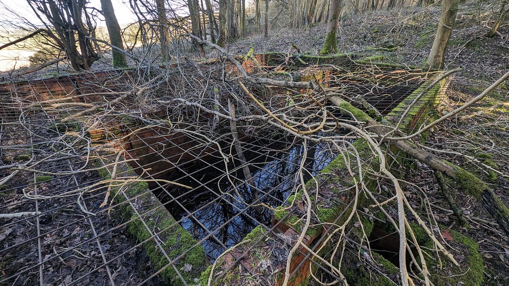
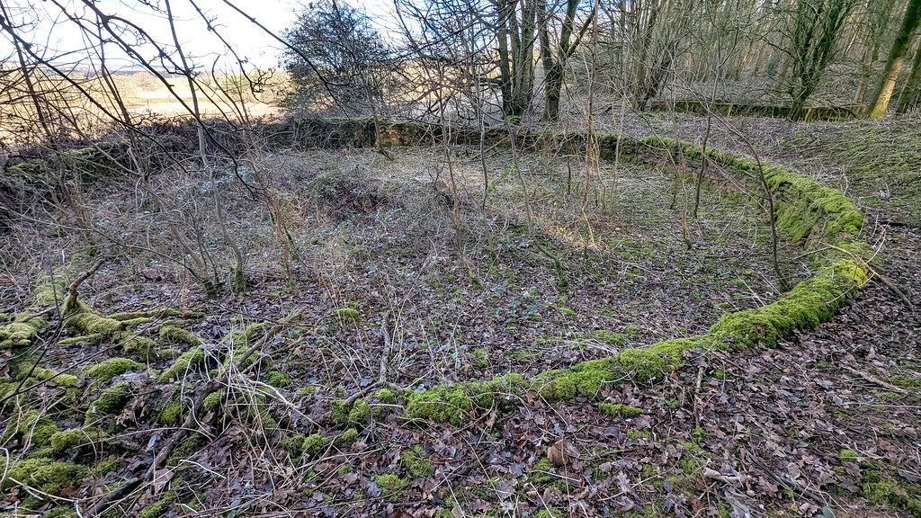
And here it is:
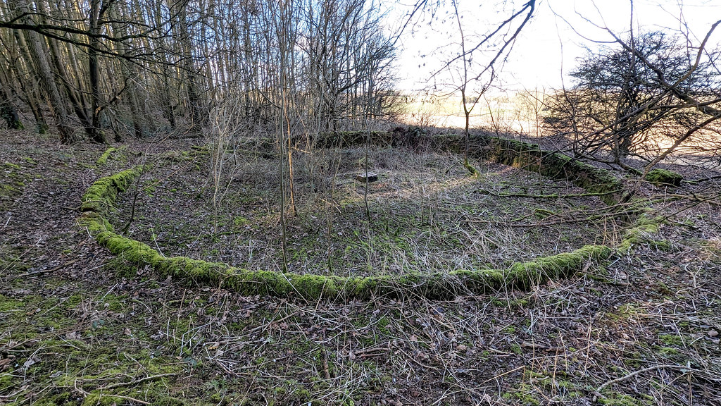
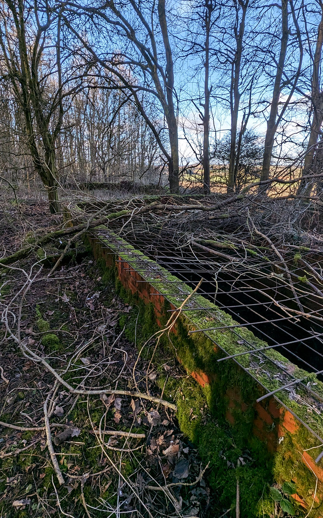
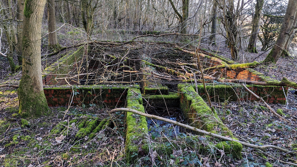
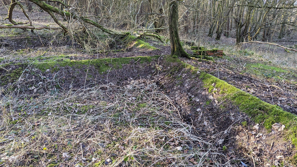
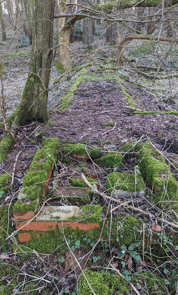
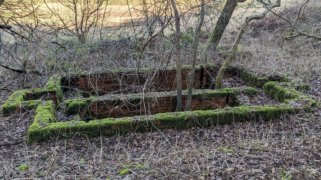
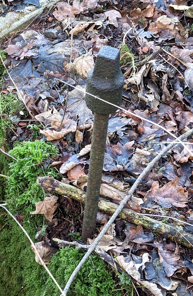
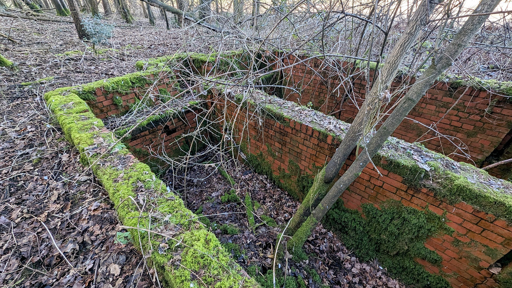
Not too much to see:
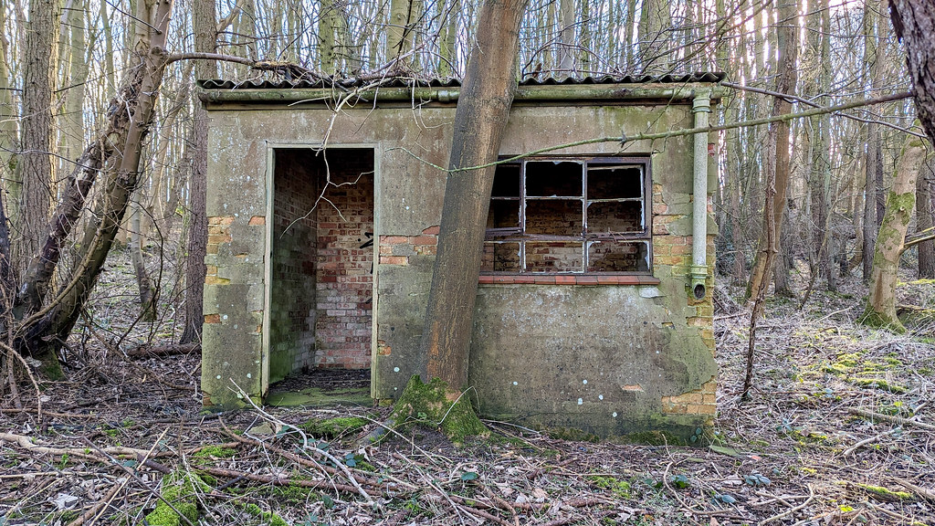
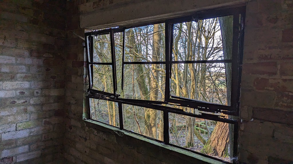
But this hut is photogenic:
That's all folks!!!
So on to Plan B. Due east on the old 1940’s O/S map I’d spotted what was the hospital’s sewage facility:
So off I traipsed, through woods and field. And after 20 or so minutes, there was indeed the camp’s sewage works. It wasn’t spectacular, but at least it was something to photograph and something that doesn’t appear to have been photographed before.
Through the trees we go:
And here it is:
Not too much to see:
But this hut is photogenic:
That's all folks!!!
Last edited: